Marketing
Caroline 2016 - Part Two
You can come back on the first part of this travelogue here.
Now the long, long, long downhill was followed.
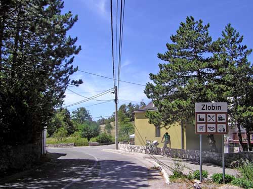
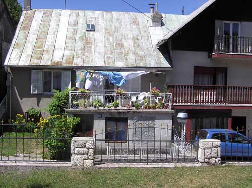
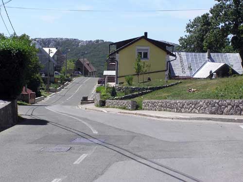
We first came to Zlobin place.
According to Wikipedia, Zlobin is a village in the area of the Bakar town, located 13 km northeast of the Bakar town. Geographically and climatic it is the place of the Gorski Kotar region, but ethnically, culturally, traditionally and administratively Zlobin is a coastal settlement. In 2011 there were 316 inhabitants, and in 1857 they were even 625. The altitude is 777 meters.
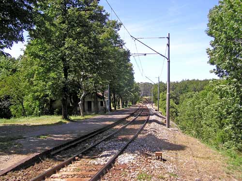
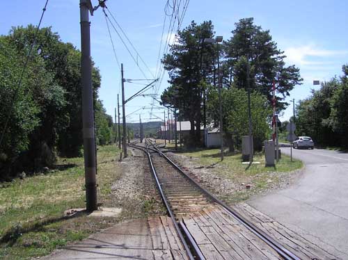
In the Zlobin place, we also cross the railroad which one we traveled by train this morning in the opposite direction.
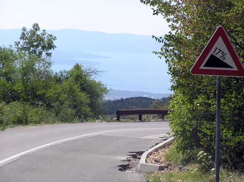
After Zlobin, the road goes out to the area from which the sea was seen, but at the same time, it comes to its steepest part throughout Caroline road.
Which kilometer before this steep downhill, even before Zlobin, there was some change in the air. The smell was gradually changing, somewhat "Mediterranean" and its temperature grew. This temperature grew mostly for the sake of the wind, which changed from fresh and refreshing to warmer, harder, and somewhat like sea wind.
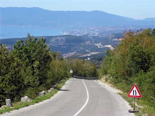
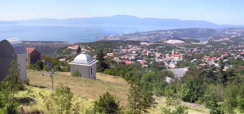
This downhill was extremely confusing. On the one hand, the view went far, far away. Rarely, very rarely I had the opportunity to observe such a large space in front and below of me.
But on the other hand, the extremely steep downhill required from me intensive braking, and still, I had to watch at the bends and traffic. Additionally, I had to pay attention to the warning from the traffic sign " The road under reconstruction on the right side".
The solution, compromisingly, I found in frequent stopping for a short time, just enough to rest my hands from braking, I look at the situation in front of me, and filmed with my camera some of this scene in front of me.
And there was a lot for filming.
We met again with a railway near the place called Plase, where it, surprisingly, found a little flat ground and placed his station there.
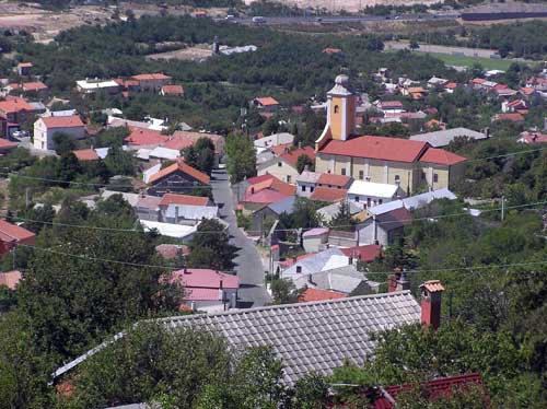
Our road used this flat ground too, though not too much, just a few hundred meters. Suffice that our hands a little bit get some rest from braking and our legs a little bit get awake from sleeping during downhill riding. All this, however, lasted for a short time, as it was followed by the downhill again and the view far away again. In that far away view we saw the Hreljin place, the next place in our downfall riding.
According to Wikipedia, Hreljin in 2001 had 2206 inhabitants. It is located at an altitude of 307 meters. It is interesting that the settlement has no named streets, but the population recognizes parts of settlements: Solnice (the center of the place), Pod Solnica, Palentarovo, Biljin .... In the central part of the settlement is the church of Sv. Juraj from 1794.
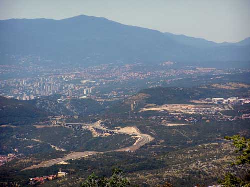
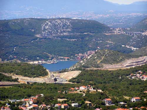
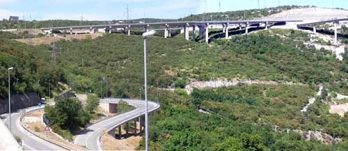
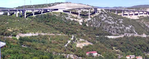
On one of those short breaks, this time in Hreljin, I filmed with the help of the zoom lens, the Rijeka motorway bypass and the piece of the Bakar Bay, to which we were going.
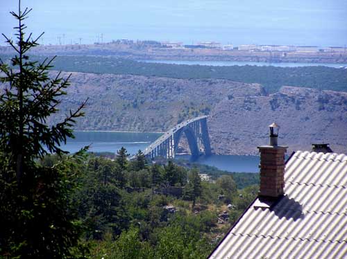
When I turned my eyes to the right, to the south, I saw the Krk Bridge, the same one that we watched from the train this morning.
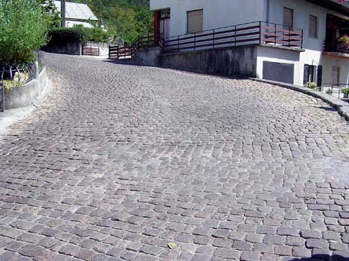
And then an unpleasant surprise. We came to the stone brick road.
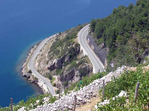
It was on the serpentine, which increase the steepness of the downhill, anyway very steep. Serpentine, steepness, stone brick road, that's already too much! I gave up, descended from the bike, calmly and dignifiedly walked on this cobble, restraining the bicycle that it does not continue the journey to Rijeka on its own.
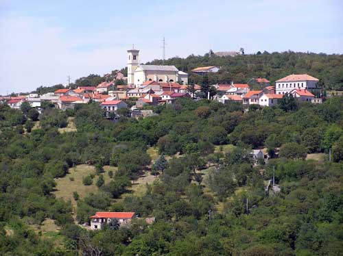
After Hreljin, the center of the place called Meja remained somewhat above us, so I filmed it hardly, considering the greenery around us.
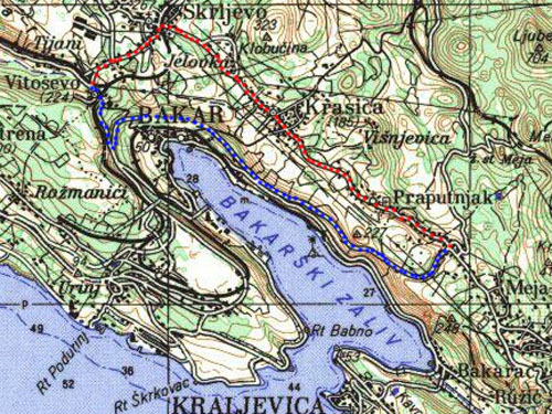
The dilemma was followed, fortunately, short-lived. On the one hand, that was a road across the Krasica and the Slike to Vitoševa (which is part of the Karolina Road) - the red dots on the bottom map. This road would be a little bit longer, but with much fewer uphills and downhills
By the second road we would descend to the main Adriatic road, followed by a gentle, but long uphill to that Vitoševo (which was built after Karolina) - the blue dots on the lower map.
The first is lighter (I suppose), but the other is far more exotic because of that Bakar Bay.
And the second one has been chosen!
So we turned to the left and it wouldn't be long and we were already thrilled about this decision (later we will cursing the same decision - that is in life: "No one drunk the cup of honey, but he has not spiced it with bitterness!").
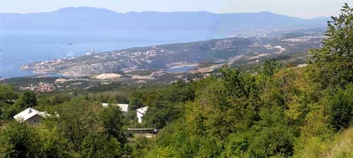
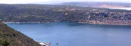
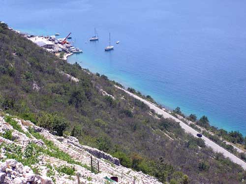
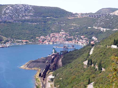
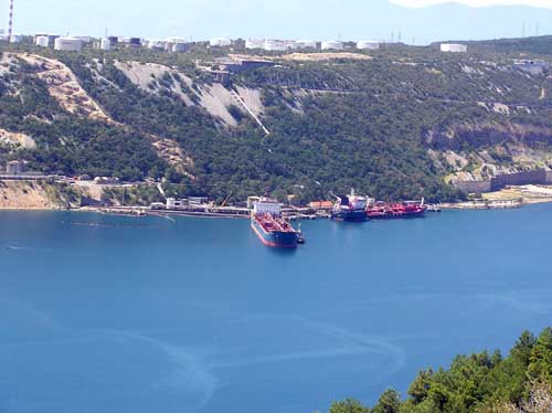
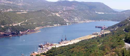
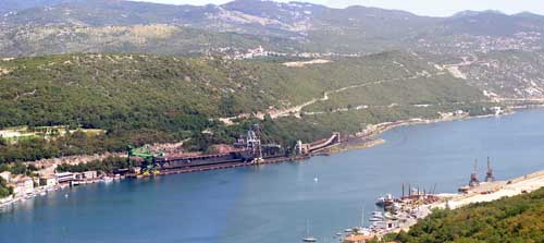
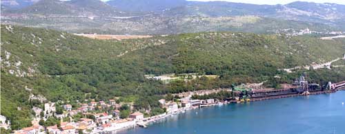
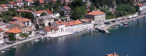
The view of the bay was fantastic. The builders of the road came to the same conclusion before long, so they built a kind of viewpoint along the road.
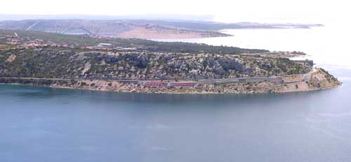
On the above images, you can see the main Adriatic road to the south, whose tour we leave this time for some other time.
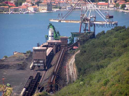
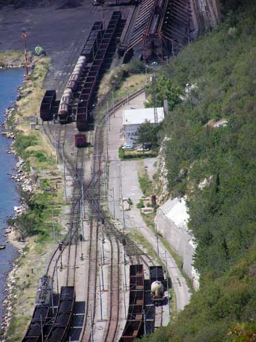
When I moved my sight down, a little north, besides the main Adriatic road, beneath it was the local road for the Bakar town and for the coke factory.
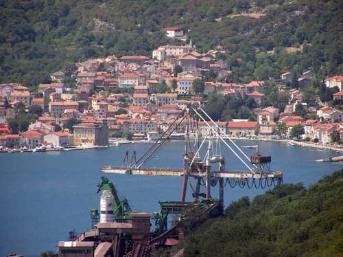
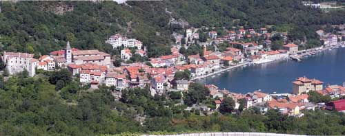
But, when I moved my sight up in the north direction, I saw that coke factory and the Bakar town behind it. Well now, there was a lot more to see, the connection of our road with the main Adriatic road, then we saw the motorway, the Rijeka Bypass... And there should be a railroad somewhere. All in all a very big crowd at the very steep terrain.
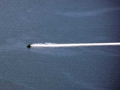
As we so, by sweating, enjoying the view of the bay from the height, someone was chilling himself with "sea scooter".
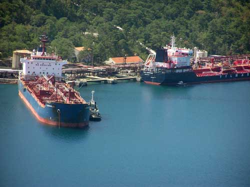
Watching from this viewpoint, on the other side of the bay is the port for the tankers of the refinery, so they also participate in this general crowding in and around this bay.
And now something about the Bakar town.
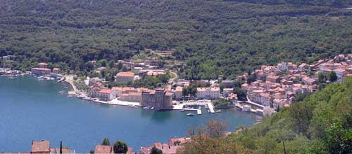
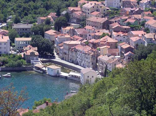
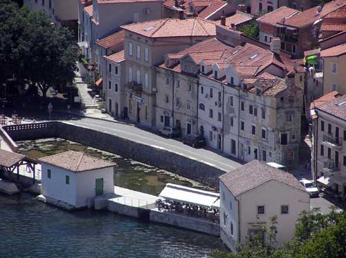
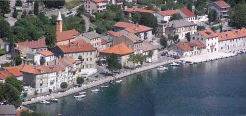
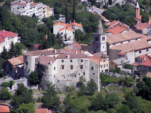
According to Wikipedia in the 13th century, the names Bukar and Bkri and the Italian name Buccari are mentioned. The name of the town is for the first time encountered in the Vinodol Codex (1288). There are presumptions that it is due to the proximity of a nearby copper mining mine (Bakar = copper on Croatian), or from the word Bukara that denotes a wooden jug shaped like the Bakar Bay. The historic core of the town was declared a cultural monument in 1968. It is divided into two parts: the older, the upper, the so-called. "Town", where a town surrounded by town walls and the lower part of two subparts, the "Zagrad" ("Behind the town") and "Primorje" ("At sea").
Godine1849. a Naval School was founded and in 1875 the Croatian Shipping Association.
In 1883, with the construction of the Karlovac - Rijeka railway line, Bakar began to lose importance because of the redirection of the port traffic to Rijeka. In the 20th century, its industrialization begins with the construction of coke factory which instead of development brings the ecological devastation of the entire bay (closed in 1995). Today's small shipyard is used for construction and repairs, mostly, of fishing boats.
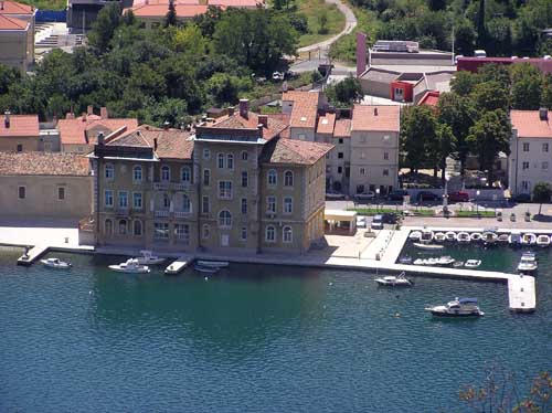
In the old building, right next to the sea, the hotel Jadran was placed, built in the Austro-Hungarian times.
Now we came to the main Adriatic road and, turning right, now uphill, we continued to Rijeka. It seemed to me that the sun was a little bit angry at us because we spent most of this day in the pleasant freshness of Gorski Kotar region, so now, in the early afternoon (about 3 pm), that sun decided to compensate for the heat radiation missed earlier in Gorski Kotar region. So it radiated so hotly like it was going to explode at all times. At least it seemed to me. And we've walked by pushing bikes up the uphill which seem to me that has no intention to ending soon.
To alleviated of this hellish atmosphere, we often stood and turned around to the Bakar Bay behind us.
The Hreljin place is on the up and right, and the road from which we came is descended and joint to the main Adriatic road just above the coke factory
We had a look at the Bakar town, this time from another angle.
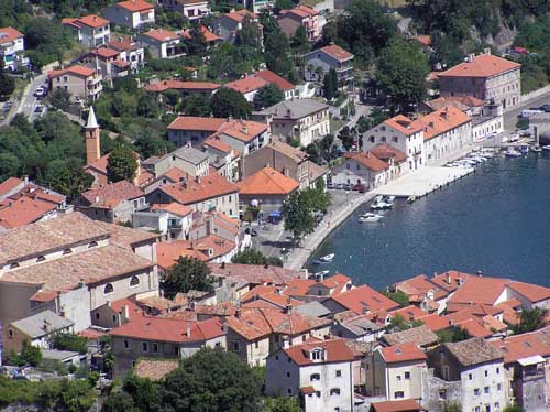
From this position, where we were currently resting, we had, like on a palm, an old part of the Bakar town, known as the "Town", with its walls.
A little further, or rather a little lower, the lower part of the Bakar town "Zagrad" and "Primorje" is towards the sea.
The road, by which we were going, was looked like the infinite uphill. From it, I shot the upper images.
The road with the infinite uphill, The Rijeka Bypass is up and right
And finally, oh finally, we came to the end of this uphill and turned left from this wide road with a traffic jam. That mixture of heat, uphill, and the traffic jam was too much for me.
In fact, we came back to the Caroline road, which one we were left, descending on the main Adriatic road.
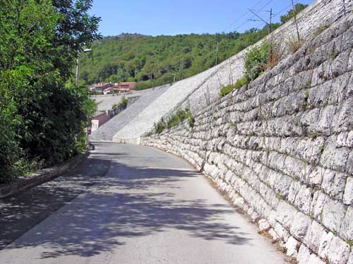
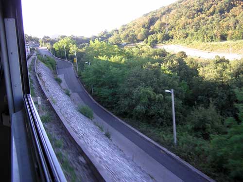
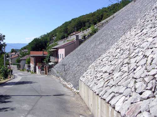
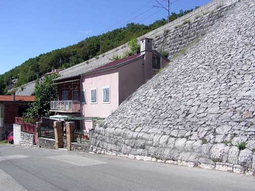
This means that the road is narrow (again), that the retaining wall is rocky, not concrete, and that is the railway above the road. We descend (ah, finally descend) to something that will ultimately be the Rijeka city, although it does not look like that at the moment.
The same place we watched this morning from the train
There is this "spite house" whose owner, at the time of construction of the railway, did not agree to sell his house. That is why the railroad builders had to somehow "bypass". The mentioned railroad has a bend here, so it somehow tilts above the house. This works somehow psychedelically, especially when, in the case of red light, the train tilts toward, and over, the house.
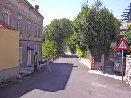
Famous the Caroline road, overwhelmed by time, here gets the local character, and by the amount of traffic, and by its width. There are also some advantages, at least for us cyclists, because, as such, it becomes ideal for riding.
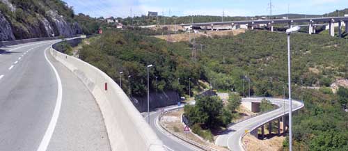
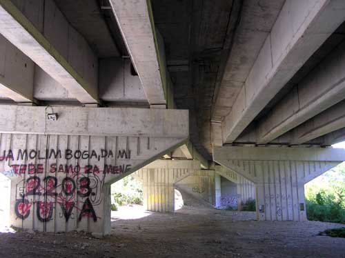
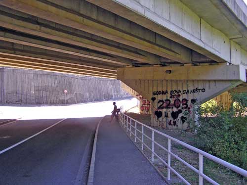
To enter the city we had to skip the motorway here called the Rijeka Bypass. Or we pulled through underneath it, which variant for here has been decided by the builders.
The great, but the really great shade of concrete viaducts kept a surprising freshness in which we had some rest.
Graffiti on the pillar:
I pray to God that He keep you only for me
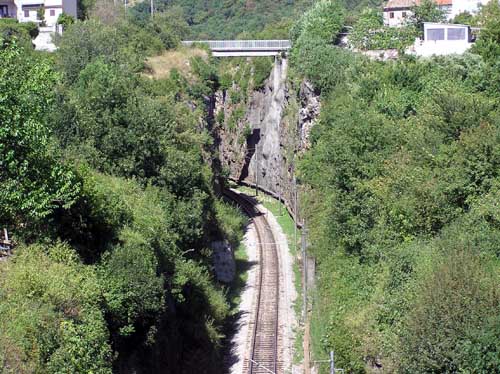
Practically already in the suburbs of the Rijeka city, we crossed the railroad with not so long bridge. But that railroad was well below us in the canyon.
Riding downhill through extremely busy traffic, we arrived in the Rijeka city to the place from where we started this morning.
My son, at the end of everything described here, gave me a compliment in the form of a comment: Today you gave one of the best ideas for the popularization of this kind of cycling!
Well, folks, if you have a spark of the wish for bicycling and want to check whether it will burst into flame or turn off, here is one of the suggestions for riding, so try.
Post je objavljen 21.05.2019. u 21:17 sati.
