Marketing
The Krasno village between 20 years - Part two
To return to Part I of this story, click here.
THE SECOND DAY OF JOURNEY
You can see the map of the first day of this journey here.
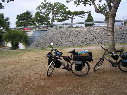
I'm always impressed with how much stuff can be packed and driven by bicycles, that is, by the strength of my muscles. Last night we spread in and around the tent, and now we have all stored and put it on bikes!
We have to go now in the opposite direction back to the main Adriatic road. This means that we went first under it (through the tunnel), then climbs on it and passes over the camp.
View on the main road before departure ...
... and the view from the main road to where we started
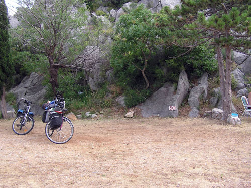
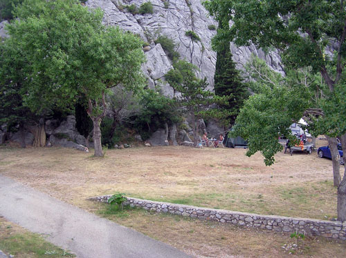
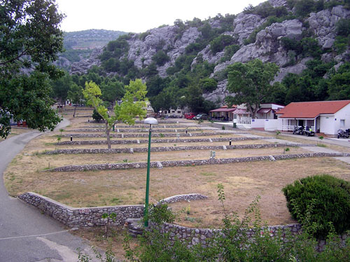
The rest of "our" camp
So much about the camp!
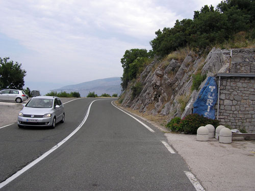
We went back to the one kilometer to the intersection where we greet, now on the right, the road to the Oltari village, from where we came yesterday. We proceeded straight toward the Senj town by a vertical rock on the right side of us, distant just few inches.
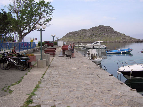
Another kilometer of the riding, after the mentioned intersection, we turned left into the St. Juraj place for breakfast and for food and drink supply. In something that should be the center of this place, we found a bench by the sea and spread out on it the food and drink which just we bought in the nearby store. So, with breakfast, by the smell the salt of the sea we watched peace around us.
Perhaps for that peace cause is a small place with its slower mentality type "we will slowly and we will easy".And perhaps the cause is the morning as the limit between contemplative peace of night and the hurried reality of the day. Although it seems to me both. Anyway, I was impressed by this peace and the tranquility in opposition to the rush and frenetic modern time placed only a few hundred meters up on the main road. If I wanted to, if I could concentrate, I could hear the disturbing buzz of the vehicle on the main road. But I didn't want it. I rather prefer to absorb this peace and tranquility from some other time and from some other planet with my senses.
But once again, remembering one of the basic ironies of life, everything that's beautiful in life lasts for a while, we started, returned with "now and here" and started toward the Senj town. But once again, remembering one of the basic ironies of life, everything that's beautiful in life lasts very short, we started up, we returned within "now and here", and we moved toward the Senj town. We have some ten kilometers to this town, and as we are on the left side of the sea, to the right of us, apart from the rocks and the stone, we will not find anything interesting to see.
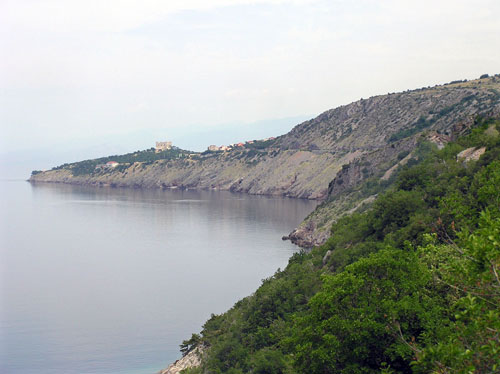
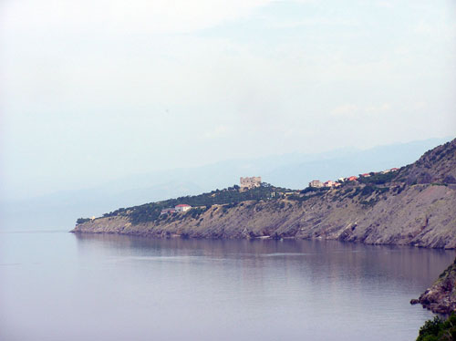
That ten kilometers is not much, at least not in the air, the Senj fortress showed us by pointing on itself in front of us. With the help of the zoom lens on the camera, it looked even closer.
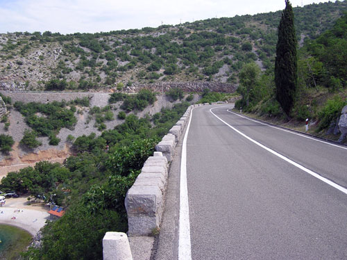
But the theory is one, and practice is something completely different so we will need plenty of time to take those kilometers, more so than we expected. Well, we must admit we did not rush, on the contrary! We have lost more time waiting for the chance to cross the road to the left to see something interesting and again waiting for the coming back for the continuation of the ride. Because, I said, on the right of the road where nothing interesting or important. So the stone fence on the left side of the road instead of the metal bumper caught my attention because I supposed that the abyss was behind.
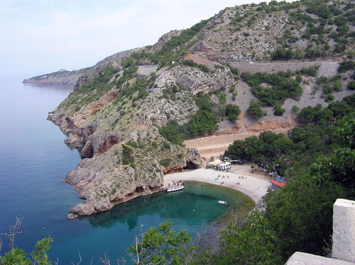
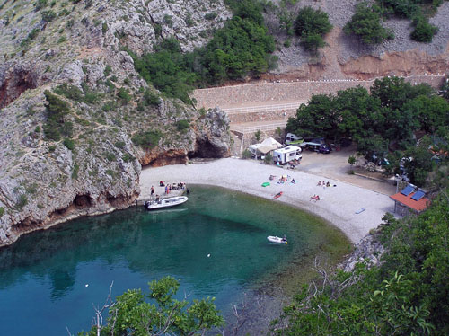
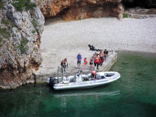
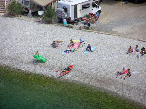
And behind that rocky fence, exactly below, the real discovery. Small, but beautiful sandy bay crammed between steep cliffs. That that it is beautiful, long time someone saw before me, so he made a campsite at that place. Bearing in mind the thick shade of pine trees only meters from the sea, the place for a campsite is ideal. Looking from a distance and from the height, it seems to me that a lot of people came to this conclusion, judging by camp filling. Even a team were preparing a rubber boat, with, I suppose, diving equipment in it.
I put this campsite in my memory for the sleeping when I will go by this road for some next time.
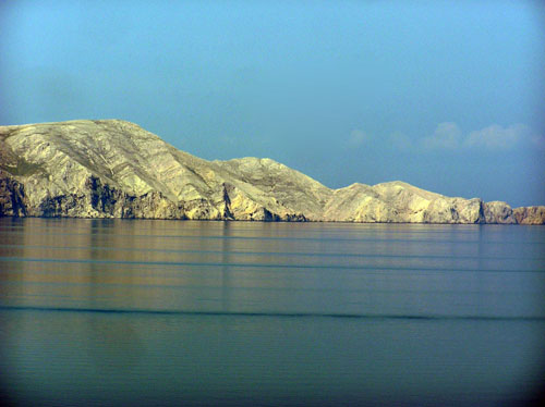
Given that there was still morning, the sun from the east, somewhere right behind us, illuminated the neighboring island of Krk cross the sea, while we were still in the morning shade of the hills and the rocks.
Yet we came to the Senj town and its fortress. Unlike 20 years ago, this time my companion and I turned to it.
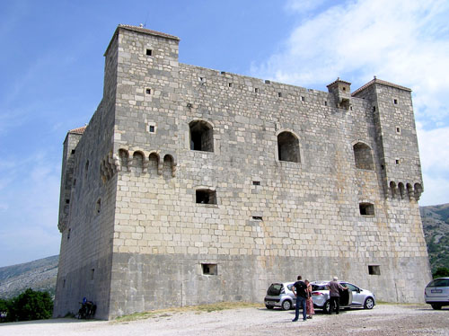
The Nehaj fortress
We were stationed together with the bikes in the shade left from the fortress and started a visit it on shift. My turn on the fortress tour will come later, so I'm left alone with the bikes. Alone, but not lonely.
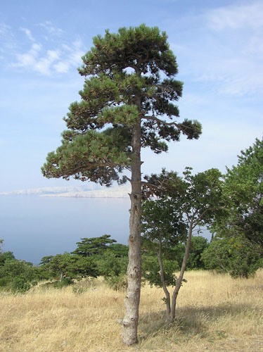
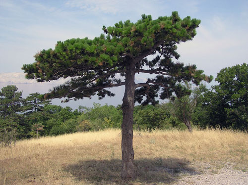
First, I mutely spoke the few words with the pines around the fort.
They weren't burly and high, especially the other one, as they were the ones we had met on the other side of Velebit yesterday, riding to the Oltari village. But their story was no less interesting. Given that there has been something for centuries that man to build, demolish, come and go, the story was far from boring.
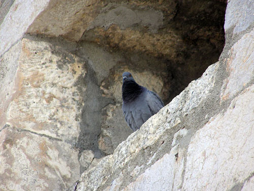
Their story was joined by the pigeons with their comments as they had the privilege of having a much better insight into the events, given that they watched from the height.
The Observatory...
...and the observer
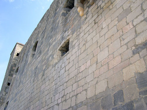
The story begins in 1558 when the fortress named Nehaj, as it is called today, was built under the supervision of Captain and General of the Croatian Military Border Ivan Lenković and Captain Herbart VIII Auersperg Turjaški. For a more effective defense, Lenkovic destroyed all the churches, monasteries and buildings outside the walls of Senj town so that they couldn't be enemy's camp. Thus, for the construction of the fortress Nehaj, the church and monastery of St. Peter and the Templar Monastery of St. George with a church of the same name, has been destroyed, whose foundations were later discovered on the ground floor of the fort Nehaj. Along the written documents, this confirms part of the architecture, inscriptions, and other antiquities are also incorporated into the walls of today's fortress.
The fortress has a cubic shape and is oriented towards the sides of the world. It is high 18 and wide 23 m. People were entering the fortress by the stairs through a wooden bridge through the narrow double door. The walls are thick from 2 to 3.30 m. The walls narrow down toward the top and end with a crown where there are five small corner towers. In the walls, there are about a hundred gun openings and eleven large cannon openings.
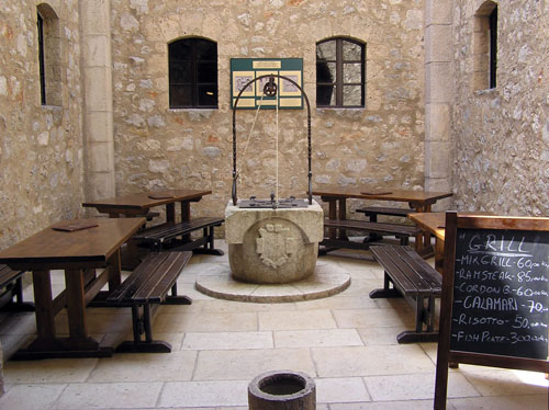
There is also a water tank with the well in the interior.
On the ground floor on the right, there was a hearth and around it was the rooms for soldiers and weapons. Here are the visible foundations of the early Romanesque church of St. George from XI. century.
On the first floor, there were rooms for officers and for the commander of the fort. On the second floor, there was a cannon room with 11 heavy cannons. Today, here on the second floor, there are organized reputable cultural and music events, scientific meetings, and other cultural events.
The top of the fortress serves as a viewpoint. From here, the vigilant guard watched the accesses to the Senj town, from the mainland, and from the sea. At the same time, they received smoke and light signals from their co-workers from the island and the coast.
The fortress used to serve as a military shelter for the ambushers that they used as a place from which they defended the city of Senj and prepared attacks on the Turks and the Venetians.
For the fairness and truth sake, I must admit that Wikipedia also helped me for this story, besides the pines and pigeons.
And then my turn came to visit the fortress.
First I climbed to the top from where I was watching the surroundings. It is always interesting to me to find a viewpoint somewhere up there, so I look from there where I am, from where it came from and where I am going to.
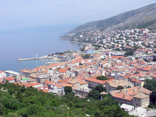
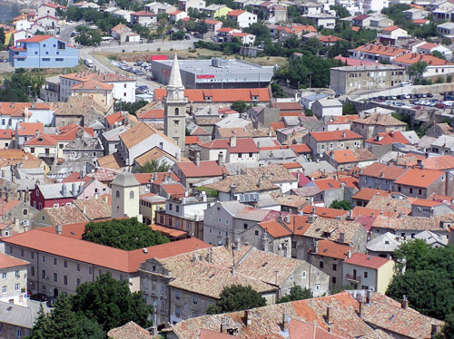
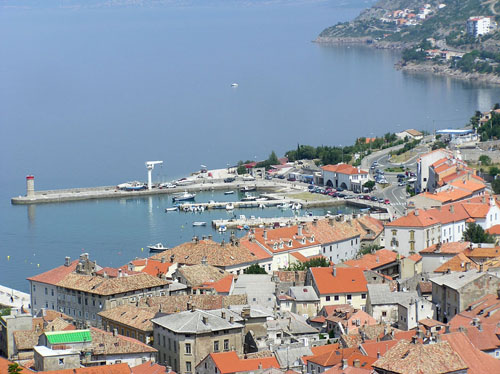
I was surprised that Senj, seen as a whole, looked like a big, real town.
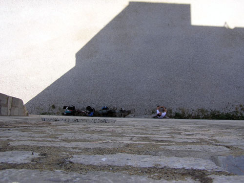
Realizing that I am looking at the city of Senj from the walls that make the shade on our bikes and my companion, I spread my hand with the camera for photographing. Because of the width of the wall, I could not see them.
Bikes, my companion and the shadow of my hands with the camera
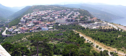
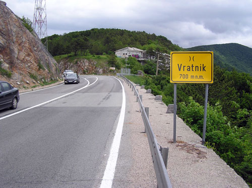
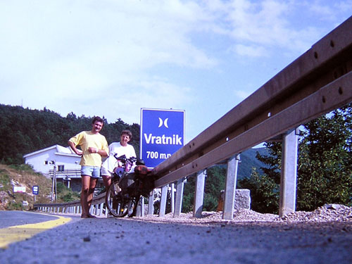
Looking at the other side of the city, I had the view, like on a palm, the road we came, and a look at the road by which we will continue the journey. Even there, in the distance, I saw the Vratnik pass where we will climb. So, after the fortress visit, we have to go some 700 meters in height, which is the altitude of the ablaut. In this, we will cross 14 kilometers to the pass.
So the Senj town is a true town, what proves a true football stadium.
After I made a circle at the top of the fortress, I greeted the town of Senj with a single panoramic shot and went down to the inside of the fortress.
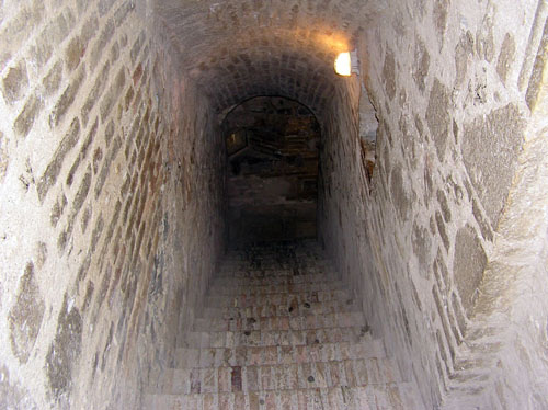
In that interior I went down by the stone stairs in the stone corridor, without windows and without any handrail.I've always been afraid of such stairs because in case I'm stumbled, I have nothing to catch, so rolling will been started. And perhaps the builder of the fort has concluded that the handrail would slow the speed of walk up and down by the stairs, who knows!?
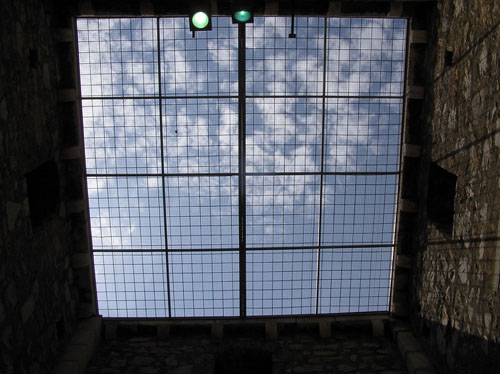
In the middle of the fortress in the middle was a square opening with a view of the sky, and on the bottom beneath that opening, the well has been excavated.
A look at the sky from the middle of the fortress - reinforced glass is a product of the present time
The water tank with the well
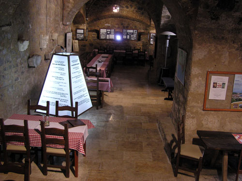
In the corridors around that well/water tank where was the army once was, there is a restaurant today.
So much about the fortress.
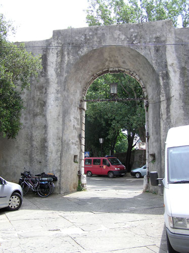
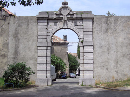
Before proceeding to the Vratnik pass we went in the Senj town for a supply of liquid. There, incidentally, it coincided that our shop is near the city gate through which once the Jozefina road entered into the city of Senj.
Exit from the town
Entrance in the town
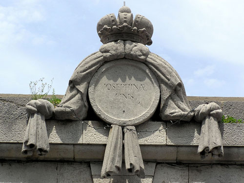
Josephinae Finis
The large town gate was built in 1779, and today's appearance dates back to 1843. On top of the door is a crown with a circular field. In the middle of that field, the words Josephinae Finis has been carved, meaning the end of the Joseph Road. In the middle of that field, the words Josephinae Finis has been carved, meaning the end of the Joseph Road (according to the emperor Joseph The Second). The road began in Karlovac, and through the Josipdol place, the Mala Kapela mountain, the Jezerane place, the Brinje place, the Žuta Lokva place, and the Vratnik pass ended in the Senj town.
Already in the hinterland of Senj starts with an uphill, which will follow us all the way to the top of the pass, till which is 14 km. Mathematics says that for 14 kilometers and 700 meters the height difference a rise is 5%. A quick, laconic comment would be - it is not a big deal.
Maybe it would not be that we did not load by our equipment, then we would probably ride, even with resting. So we kept that resting, the ride we replaced with a light walk, so with pleasantly chatting, all in all, with lunch, we spent just over 5 hours to the Vratnik pass.
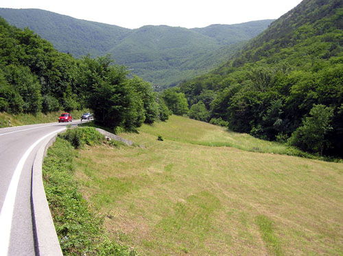
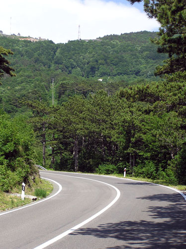
Half of these 14 kilometers the road curving along some dry watercourse, which probably in the winter, or in the early spring becomes a roaring creek. That watercourse is called Senjska draga. In the second half of the 14 km the road is greeted politely with that watercourse, so in the form of a zig-zag formation, with slightly higher incline, by the serpentines climb to the ablaut. So in the second part, our life is complicated by an increased of uphill, but it also relieved with the shade, with the emergence of true pine wood, unlike the low, rare underbrush which is in the first part.
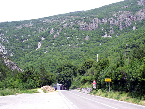
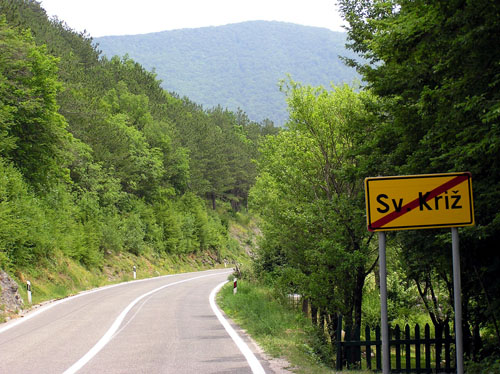
In these 14 kilometers to Vratnik, we came across two places. First is the Matešići place, some 3 km from Senj, and the second is the Sveti Križ place (Saint Cross), some 6 km from the Senj town.
The Senska Draga wotercourse and the Matešići place
Leaving of the Sveti Križ place
Approximately a kilometer behind the Sveti Križ place the road separates from The Senjska Draga watercourse and by the sharp curve to the left went toward the Vratnik pass with increase slope of uphill.
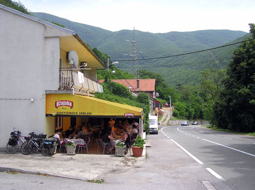
What about the sun, and what about the long hours from breakfast, our stomachs began to show hunger and demand a meal. I remember it was a restaurant somewhere here was my wife and I ate a very good meal 20 years ago, so I hoped we would find it this time too.
My wish was fulfilled.
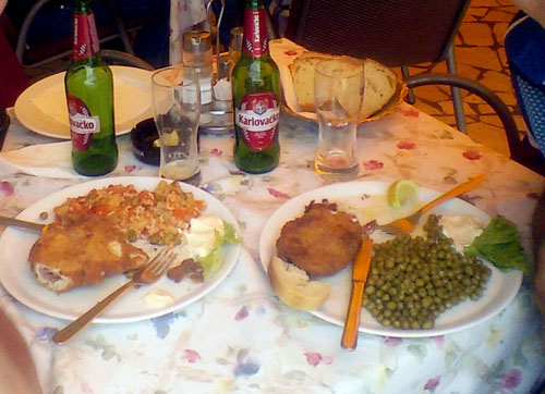
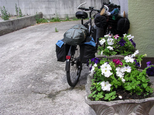
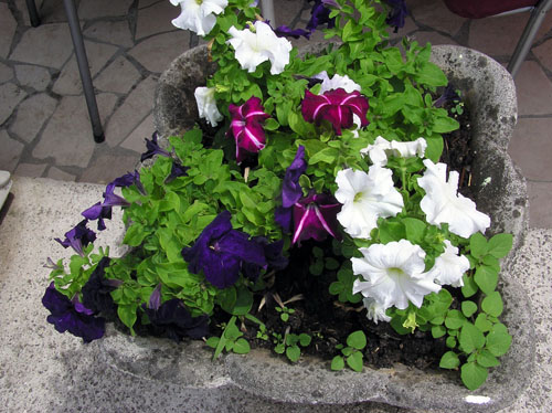
We parked bicycles up to big pots with beautiful flowers.We sat on the table immediately behind these pots and slowly drank in the beer and eat the steak of Zagreb.
According to that saying, "When I'm hungry, I can't do anything, but when I was eating I just want to sleep!", we stretched talking after the last mouthful so much, so we hardly forced ourselves to continue the journey. There followed many zig-zag of the road, so the sun was a little bit od the left side, and in the next moment, the sun was on the right side of the road. The sun was shining very warm, at moments it seemed overheated as before rain, which later, unfortunately, would prove to be a correct estimate. We followed the shade of high pines, whether it was on the left or on the right side of the road. We walked on foot, pushing bikes, so it seemed to be better to walk on the left side because I saw the vehicles coming to meet me, unlike when they were approaching on the back (when we walked on the right side of the road).
The ablaut now approached, sharpened, and looked I can almost reach it by hand. Though it was an elusive feeling, it seemed to me that it would be better for a moment to go across the forest, instead zig-zag by the road.
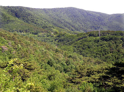
Contrary to the boulders down the sea, though still the south side, here everything was covered by a dense, very dense forest.
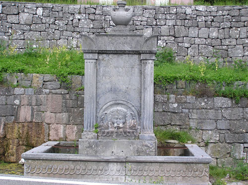
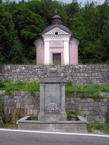
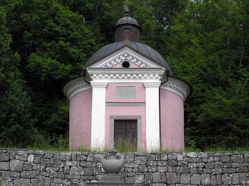
But there is still a lot to the ablaut. For alleviating the pain, strengthening the body, and refreshing the spirit here was spring water at the wellspring called the Carsko vrilo. While we were refreshing at the source, I watched the old but well-decorated (at least from the outside) chapel.
The wellspring
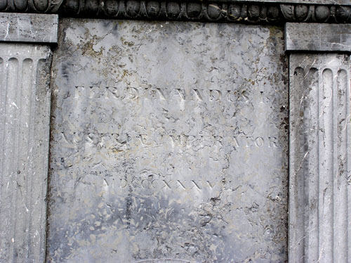
A inscription on the wellspring
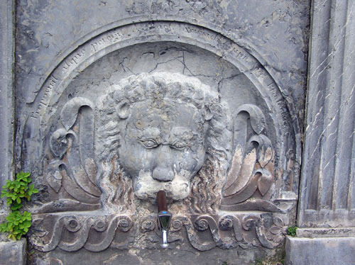
Water at wellspring (nickel-plated faucet does not fit into the whole wellspring)
The chapel above the wellspring
The chapel
If it is to believe it, the internet says that under the Vratnik pass, in the Majori place, along the Vratnik-Senj road, lies the fountain which gives drinking water from the Velebit mountain. This fountain is better known as the "Carsko vrilo" (Emperor's wellspring). It was built in classicist style. On its southern side is engraved the inscription: "EMPEROR'S WELLSPRING FERDINAND I EMPEROR OF AUSTRIA 1837 Imagined and made by J. Cajet, Knesich C. Kr. Major". The same inscription is engraved on the western side in Latin, and on the north side in German.
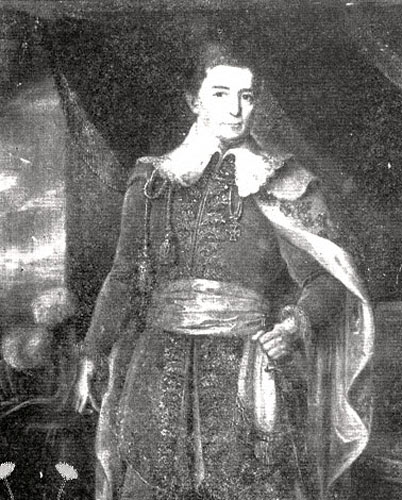
The fountain was built during the works of modernization of the road from the Karlovac town to the Senj town in the period from 1833 to 1845. The work was led by Major Josip Kajetan Knežić, a native of the town of Petrinja. The mentioned road from Karlovac to Senj is known in the traffic geography as the Jozefina road. Major Knežić was a famous road builder in the karst. During the road construction between the Vratnik pass and the Senj town, Major Knežić had its headquarters in a simple, ground floor house south of the Vratnik pass. In his house, 10 x 10 m, his office, and his apartment were housed. That house called by the people as the "Majori", and it testifies of the modest opportunities in which Knežić created his great work. Later, the whole hamlet was named Majori.
As the picture speaks more than a thousand words, here is the image how the aforementioned major looked (downloaded from www.cro-eu.com).
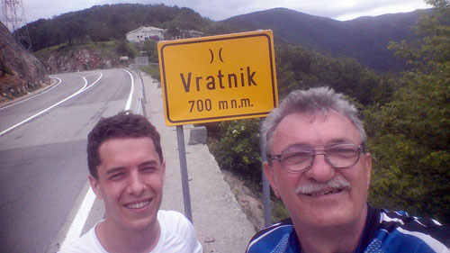
But everything has its end, so this climb. Finally the summit of the pass!
Now it's time to enjoy, rest, recapitulate.
20 years ago
Today
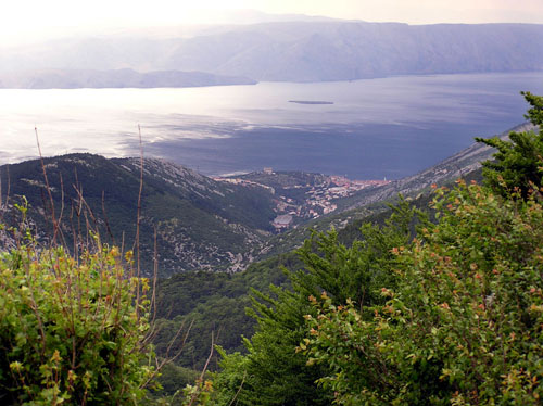
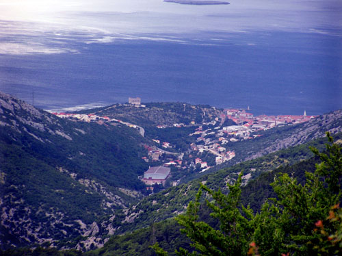
At the pass, we watched the sea and the Senj town down below us. If I had a Hawkeye, I could see that door at the entrance to Senj and the fortress from which, about five hours ago, I photographed this place where we are now (the fortress is seen).
The Senj town from the Vratnik pass
The Senj town from the Vratnik pass(zoomed)
But unlike 20 years ago, when we had a calm breeze on the ablaut, now it seemed as the ablaut was entering in a subterranean world, a true Hades. Immediately behind the ablaut, the landscape was so dark in the sky, that only the lightning, which was here and there, was a bright spot in that darkness. In addition, from the direction of the mainland through the gorge at the ablaut was blowing a cold and treacherous wind with a hurricane force.
And we must continue through that hell!
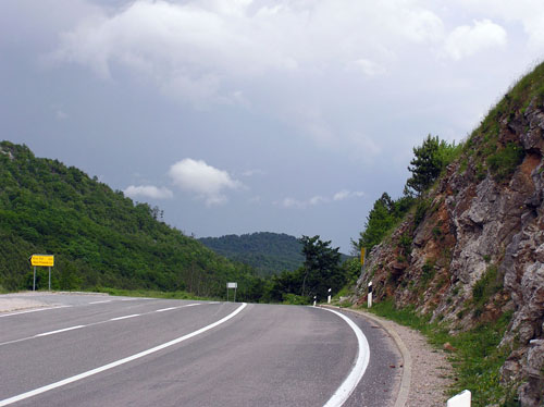
It was darker and more treacherous than it looks in the picture (imagine still ice-cold, strong wind in the face)
The rain falls a little, so does not fall, it blows a little, so it blows a stronger. We stopped, dressed in raincoats and proceeded to ride.I have an extra problem with that raincoat. I sweat under it, and in the end, I'm as wet as it is without it in the rain. Basically, these 20 miles to the place from where we left yesterday morning, we walked silently, or we rode, hoping to finish this torture as soon as possible. It' a pity, because we were passing through pristine, the primordial, pure the Lika region. I felt it at least by my nose if not the other senses.
Interestingly, 20 years ago, it was similar. The difference was that today the rain had to fall slowly all the time, while it was heavy rain lasting only 15 minutes 20 years ago. And so all the time from the Vratnik pass was an assessment of whether he would fall or not, with fear if this happens somewhere where there is no shelter.
That's why there are no images of traveling through that part of Lika, not today, nor 20 years ago. It remains the only one to wait for the next year with the digit 7 in the end, 2027, and correct these omissions.
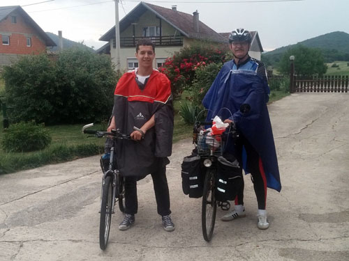
(Not really cheerful and cloudless) The end of the journey
Images from this journey can be viewed here.
Post je objavljen 12.03.2019. u 21:43 sati.
