Marketing
The Krasno village between 20 years - Part One
If you don't want to read, skip the text and see the images here.
The first time is coincidence, the second time is the congruence, and the third time it's a habit.
Years which ending by the digit of seven have a special status in my life. So, already, back in 1987, I have been married. The decade after, in 1997, I and my wife was traveling the journey which is the topic of this story. Two decades later, in 2017, I traveled the same journey with our son.
So, a story about two tours which run along the same route, but with a distance of 20 years is followed.
First, something about the route itself.
The Krasno village is located on the mountain Velebit in the Lika region, the southern part of Croatia.
We started from the Otočac town or about a few kilometers before, and across the Krasno village descend to the Sv. Juraj village, then across the Senj town, climbed to the Vratnik pass, and after descended from it, through the Kompolje village where we got back where we started yesterday morning.
THE FIRST DAY OF JOURNEY
You can see the map of the first day of this journey here.
While we started and ended the journey in the Otočac town 20 years ago, at this time we did it from the Čovići village. That village is 10 km east of the Otočac town, located in the middle of Gacko field (altitude 430 - 460 m).
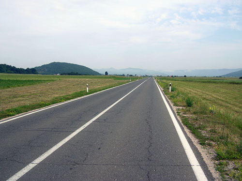
The road towards Otočac is very good, wide, with lines in the middle as on the side. It was just like the arrow, toward the west, in the desire to touch the Otočac town as soon as possible. We just did not rush, on the contrary! In a hurry, we are often miss something and we regretted later for it. Because of that, by rotating of the pedals quiet and gentle, we allowed that the freshness of the morning peace of Gacko's field to caressing our face and irritating the nostrils by a morning smell. The smell and freshness of this morning, in a mix of contemplative peace, was the something special which is not being experienced in urban environments.
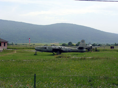
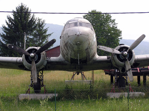
The hangar with a fence on the lawn tells us that we were in front of the sports airport of Otočac. We were convinced in that by the parked airplanes, better said, their remains. Although I'm not an aviation expert, I think that the first plane is a souvenir from the last Homeland War, while the other DC-3 is much older.
When we arrived in Otočac, the contemplative peace quietly retreated, leaving the town crowd to show off his face. Although it is not a big city, it is still the center of the field in which it is located, and also wider, because with the Gospić town makes the two largest centers of the Lika region.
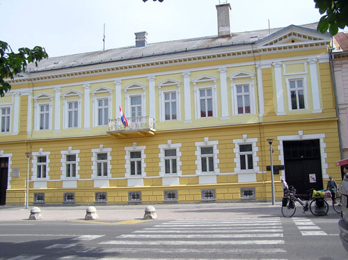
The Gacko public school
In the building where is the Gacko public school, the seal of Austro-Hungarian architecture is seen, often encountered in Croatia and in this area.
Otočac is not such a big city (yet), and there is not a detour (yet), so the whole east-west traffic passes through the main street.
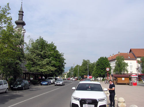
Main street in the Otočac town
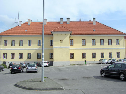
In the desire to supply food and drink, we arrived at a large shopping center from whose car park I took a snapshot of two buildings. The first is a large building that reminds me that has passed many decades after its construction, though it looks still fresh and dignities because of its refurbished suit. Only later, while I wrote these text, with the help of the Internet, I found out to look at the background of the City Hall of the City of Otočac.
The background of the City Hall of the City of Otočac
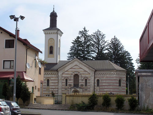
Another building is the old Orthodox Church of St. Georgia, built in 1863, where the façade began to show signs of fatigue.
The Orthodox Church in the Otočac town
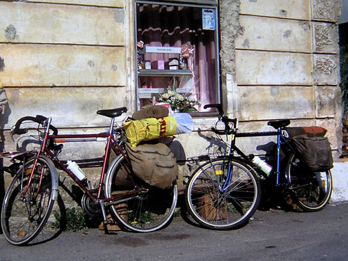
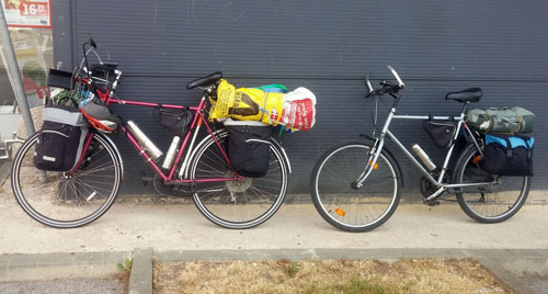
Somehow close to this place where is now a large car parking, 20 years ago was a small dilapidated house in front of which we made the last preparations before the departure that morning. Today, some tens of meters ahead, in front of a large shopping center I've taken a snapshot of our bikes.
20 years ago
Taday
Looking at the equipment and bicycles now, I can see a significant change, and probably progress, in these 20 years. Now it seems very brave, almost as madness, on the bicycle with tire widths an inch and quarter to load so much cargo (together with me). But is it was too loud or not, the bicycle has held out!
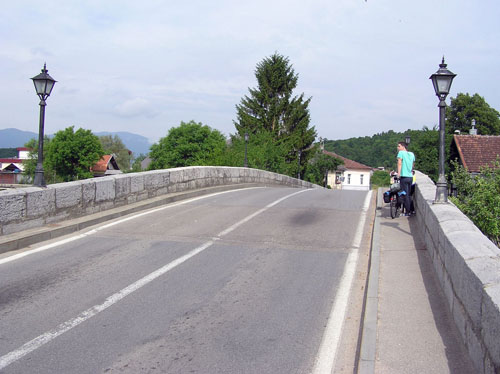
But let's get back to this present time. After the city center, we crossed the Gacka River by the old stone bridge.
The old stone bridge
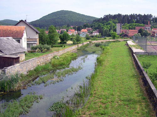
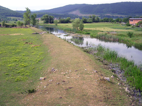
While the river is passing through the city, it has controlled by stone fences instead of the embankment in case of increased water levels. After the river passed the city, the river is left to spread as much as it wishes.
TheGacka river through the town of Otocac
The Gacka river outside the town of Otočac
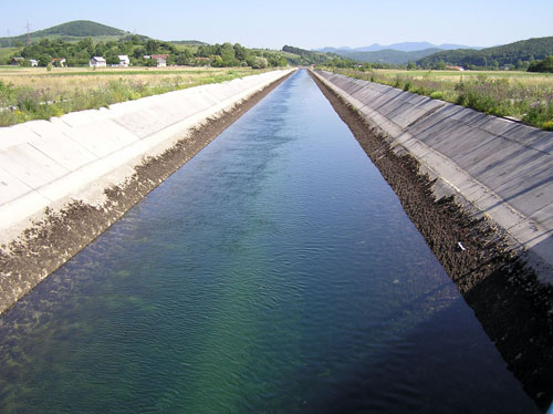
In the matter of fact, what is seen on the upper images is just part of Gacka. More than half a century ago below this old stone bridge, from which my companion and I watched the river, there was much more water which was flowing through the Gacka River. Part of it was ending up in the nearby Švičko Lake and part of it was sinking into the ground through the abyss. Because of the growing hunger for electricity, in 1965, most of Gacka has been redirected before the Otocac town by tunnels and artificial concreted watercourses toward the Senj hydropower plant. Since then, only a small part of the Gacko river has reached the Otočac. However, that water at the time of melting snow can grow to a threatening amount - this is the reason for the existence of those stone walls around the river in the town.
The cemented watercourse of the Gacka River outside the Otočac town, in the Kompolje field
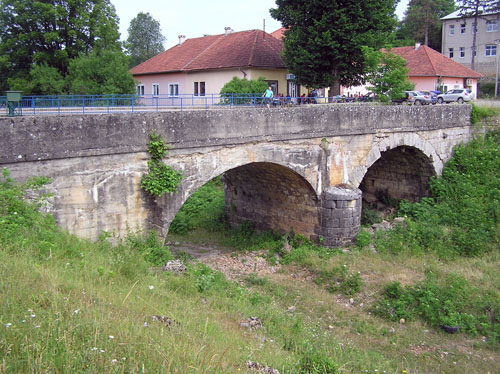
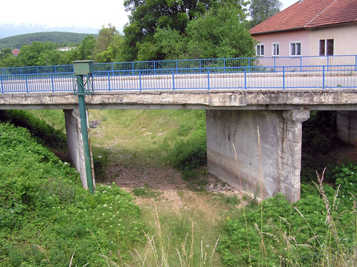
After leaving the Otočac town and crossing the present A1 motorway, in the Švica village, we reach two bridges over the dry river, or over the old watercourse of the Gacka river. The old one, which now mostly is out of use, and the new one by which we continued our journey towards the Krasno village.
The old bridge
The new bridge
Although it will sound nostalgic, to me the old one, with its arches, is somehow more beautiful. The new one was built in a minimalistic cost manner, simple and straight, so it is kind of impersonal, let's say, without a soul.
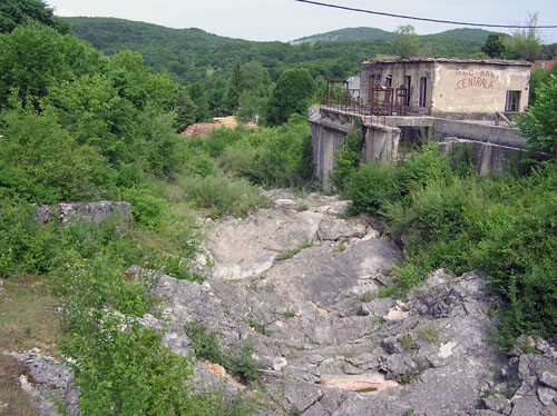
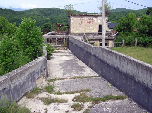
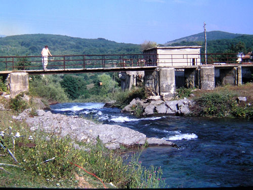
At the exit from the village, we came to the remains of a small, old hydropower plant, built in 1935, where the power of Gacka water powered the sawmill until that year.
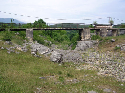
To the remnants of the former engine room can be reached by foot by crossing the bridge just one meter wide.
From this bridge, you can see the dry rocky watercourse by where water of the Gacka river has no longer flowed, and to the right of the watercourse is a concrete channel which separated the water for the engine room.The dry rocky watercourse
Tha concrete channel
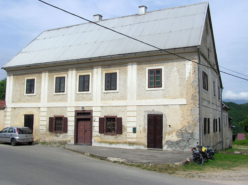
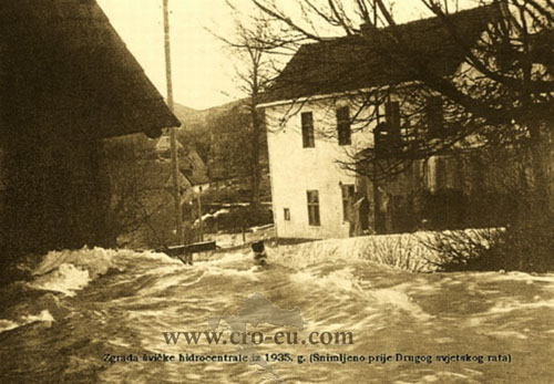
My companion and I were walking around that bridge after we leaned our bikes on an old house which is irresistibly similar to the building of the Švička hydroelectric power plant photographed in 1935.
Today
In the year 1935 (downloaded from www.cro-eu.com)
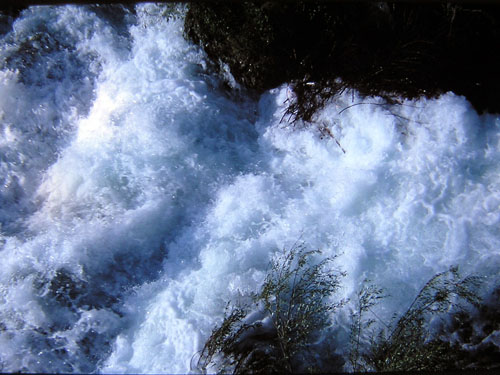
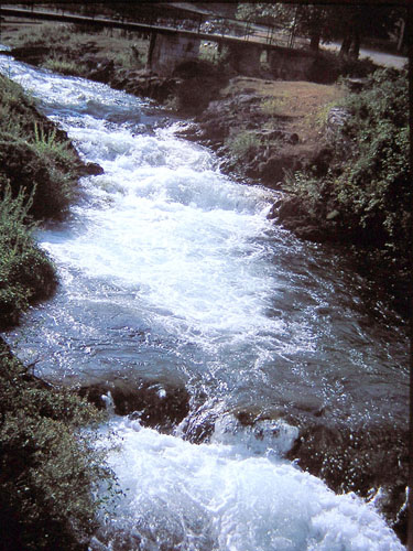
By riding a bicycle, it happening totally unexpected things that, due to the lack of expectation, are able to complete to excite and to enthuse. One of the allegations that prove this claim happened here 20 years ago. My wife and I appeared here, absolutely accidentally, at the same time as the Senj hydropower plant was overhauled. To make this overhaul, it is necessary to close the tap so that the water does not come. Since that tap is not in the wellspring of the Gacka river and how that water runs before the man appeared, it is left to return the Gacka river to the old watercourse while the overhaul work is not over.
So then, totally unexpected, from the pedestrian bridge instead of the static grayness of the rocky watercourse, we watched a very dynamic performance. This performance was from a blue crystal clear water, which frenetically alternated with whitish short-lived foam resulting from the mixing of water with air.
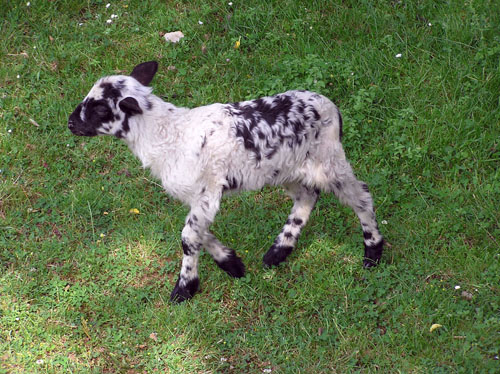
We did not travel for a long time, because of the climbing of the uphill, which were significant both by rise and length, we started the first climbing today. At one of the breaks by the fence, we saw a flock of sheep from which a curious lamb has separated itself and run to us. The saying says: "It is cuddly like a lamb!"
We left the last houses and by the uphill, unchanged, we continued to curved at that uphill. When the trees with branches had spaced, we saw a little field in which the "old" Gacka river, once long ago, sank to the ground and by its only known way ended in the Adriatic sea.
The 1997 year - A bright eye will see a piece of blue surface of the Gacka river before falling into the hole
Today - Dry watercourse
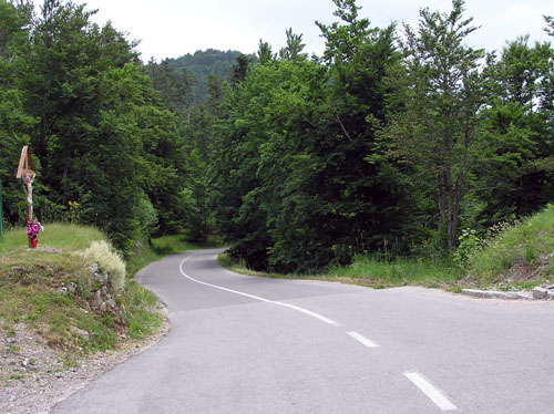
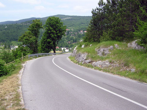
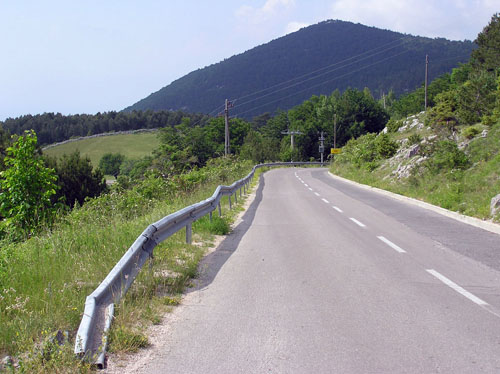
A long uphill was following, fortunately by an asphalted road, a road which was wandering in search of space. It is a favorable circumstance for us was looking at "right somewhere down" on our right side. That's why the Lika's landscapes are changing one after the other.
That beauty in the Lika region is not just "far away" I see if I look down just a few inches from myself.
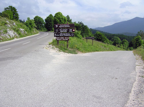
Ignoring the recommendation of the signpost for turning left towards the Kuterevo village (which we left for another ride at another time) we continued straight to climbing by uphill towards the Krasno. Sometime later, the Kuterevo village shown to us his full greatness and beauty.
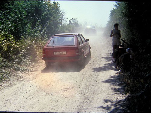
Somewhere in this place on the road, or a little further, 20 years ago, the situation looked like this:
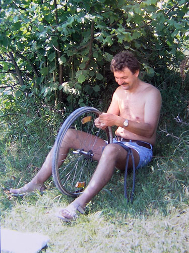
Then there was no asphalt from the intersection for the Kuterevo village till the ablaut. Given that it was the Feast of Our Lady (15th August), and then it is a great sanctuary of this region, so next to us the mass of people was going to Krasno. But unlike us, they did it with cars, and they left to us the dust as a memory. For bigger "joy", in fact, to be even worse, I pierced a tire on my bicycle. At that time I was not as clever and perspicacious as I am today, so I did not wear a spare tire in the accessory, but only the tire repair kit. So, it has been followed the tire repair in the dust cloud.
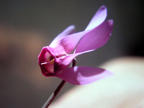
While I fought with a tire problem, my wife found the right wild cyclamen. Seeing her so beautiful and pretty in her gorgeous beauty (cyclamen, not my wife), for the moment I left the tire and accessories and reached for the photo camera.
Today it's easy! On my digital camera, I choose the "Super Macro" option, focusing on cyclame and take a snapshot. But 20 years ago there was no digitization or so much automation in my camera "Practica" of East German production, so a lot of that I had to by myself. I detach the lens, simultaneously I hold the reverse lens with the camera housing, by the other hand I activate the light meter, and, by looking through the viewfinder, I manually set lens aperture for light. When I solved the light problem and continue to hold the camera in the way I described in the last sentence, I am trying to solve the sharpness problem.
I know, I know, I've been overdoing by these details, but I did it just to show how happy we are with the benefits of today's technique, but we are not mindful of that much.
But let's get back to today.
Some white clouds sheltered the sun. It did not look like that whiteness turn to dark clouds, so there were not threaten of the heavy rain. That is why we accepted these white clouds as a gift of God, for they brought a pleasant freshness to the climb.
Now we have moved to the left side of the road, because on that side now we were watching "down there".
When I can not find a companion, clearly, I'm riding alone. But this is in some sort of extreme need because I like to ride in society. And one of the major riding advantages in the society is showing in this long-running ride on the uphill. We started stories, often born of strange streams of consciousness, then the theme occupies the spirit, and in the end, we are surprised that we are already in the ablaut. This is how it was this time.
The summit of the pass - where we came from
The summit of the pass - where we are going to
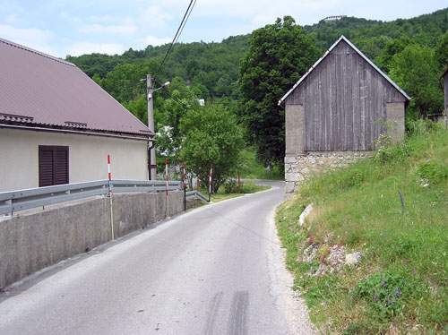
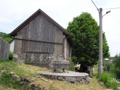
Of course, it is time that we rest with the relax of the spirit and body before continuing the journey. After the break, a long downhill to the Krasno field and in the Krasno village has been followed. The road had curved, initially through the forest and later between the underbrush and low vegetation. As it is already possible, the road or is it so wide that even it has a line in the middle, or it is narrowed to the size of a bit wider track. So narrow, the road was through the Devčići hamlet. Here we have seen the traditional water supply system known throughout the centuries based on rainwater collection. The rainwater collects from the stable roof and drains into a special tank.
The stable is on the right side of the road
The water tank is that one rocky, gray, round in front of the stable
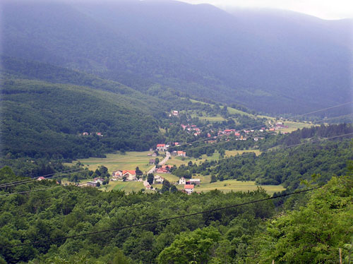
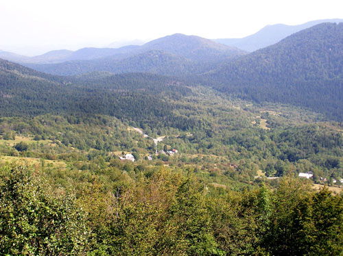
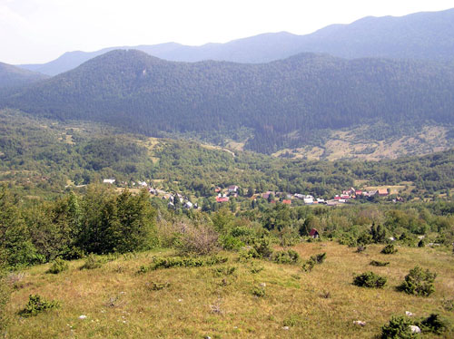
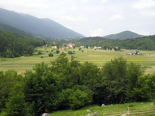
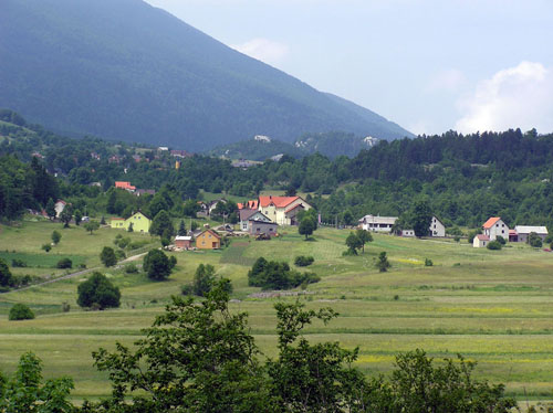
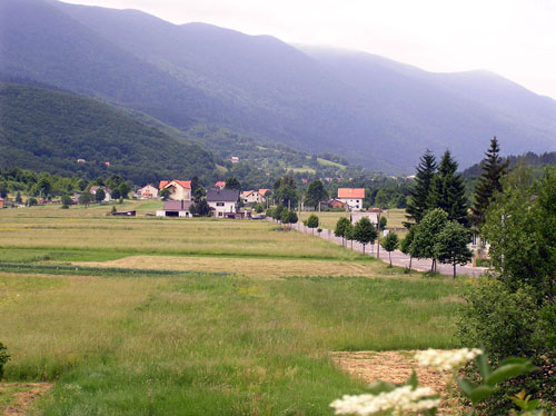
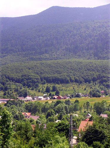
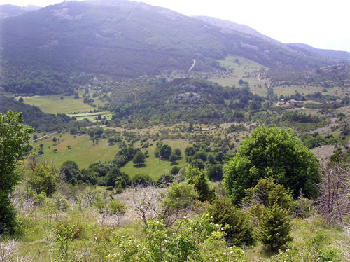
And then we came at a beautiful view on the Krasno field together with the Krasno village itself. According to Wikipedia, the Krasno field is there at the Velebit mountain in Croatia, in the vicinity of Senj, at an altitude of 714 m. It is the center of the National Park of Northern Velebit, where annually a dozen thousand hikers pass. The sanctuary above the village Krasno visits up to 100,000 people a year. The name Krasno is mentioned for the first time in 1275.
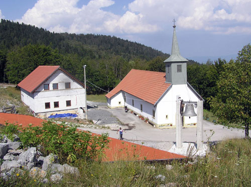
Above the Krasno field had built the church of Sv. Mary, which is mentioned for the first time in the 1219 years. The village of Krasno belonged to the Senj church in the Middle Ages. It was ruined and left without inhabitants of Turkish conquests in the 17th century. Since 1790, it has been again a parish center. The parish church of Our Lady of Krasna to this day is known as a holy place dedicated to the Mother of God.
This sanctuary we bypassed this time, but 20 years ago I and my wife had visited it. This little church, 364 days a year, mostly listen to a silence of the Velebit mountain, but on the day of the Great Lady (August 15th) will be revived by the mass of people.
Although I was not by bike, but by car, I was at the church in 2007 (again digit seven at the number of the year ) on an ordinary day. I photographed the church in silence and serenity.
Acording to the Wikipedia, the legend about the Mother of God of Krasno originated in 1219.
"In the forest, not far from the place of the church, shepherds guarded their sheep which were on pasture. One day they saw a miraculous flower on some sort of stump and in the flower a picture of the Mother of God. The shepherds picked up the flower and brought it down to in the Krasno field, where from the ancient times there was a chapel. But the flower suddenly disappeared, until the shepherds again found it on the same stump in the forest. When the people saw these events, they build a chapel in honor of the Mother of God, and above the stamp where the flower has been found, they put the altar."
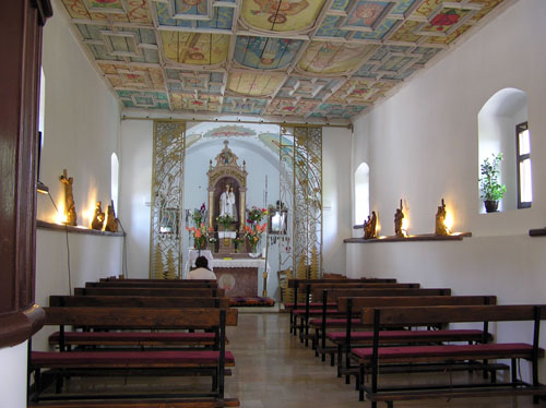
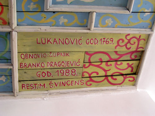
The present-day Church of the Mother of God of Krasno is from the 18th century, built on the foundations of a medieval church. The highest artistic value in the church is a wooden ceiling with painted scenes from the life of Christ, Mary and the saints with Latin quotations from 1740.
View into the interior of the church (notice the ceiling)
Detail of the church ceiling
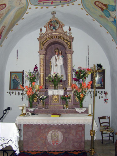
The altar of the church
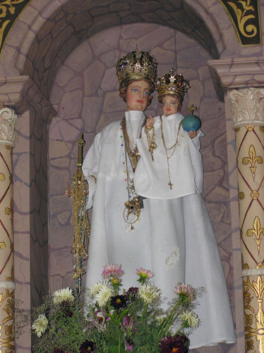
Detail of the altar
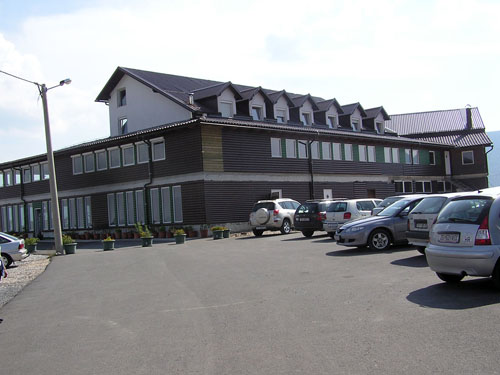
For the purpose, or as a consequence of religious tourism, near and above the church was built a motel at an altitude of 1000 meters. Unlike a church that is discreetly hidden in the interior of the Velebit mountain, the motel is located right on the edge of the steep in the bottom of which is located the Krasno field. The view on the field from that place, on the Krasno village itself and on the Velebit mountain, rarely leaves indifferent anyone, and to assume that it (the view) was deciding when choosing the location of the motel.
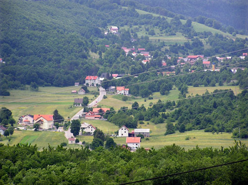
The Krasno field with the Krasno village
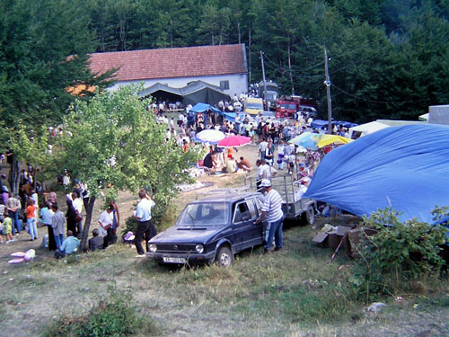
And this "D day," to the Feast of Our Lady (15th August), 20 years ago I came with my wife till the church, so here is a little rustic evidence of the general folk festivity that follows after the spiritual transformation which has been experienced by visiting the church.
The general folk festivity 20 years ago
Let's get back to this time. This time we gave up the shrine, and we started to descend to the field. These rides on the downhills are those who are always too short. There I allow myself to enjoy by the full body and spirit. This is a form of trance, exclusion from ordinary worldliness. That's why a cognition that there is no more downhill looks like to me like a cold shower which returns me to reality.
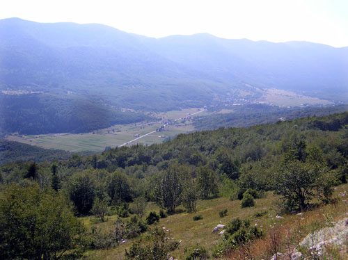
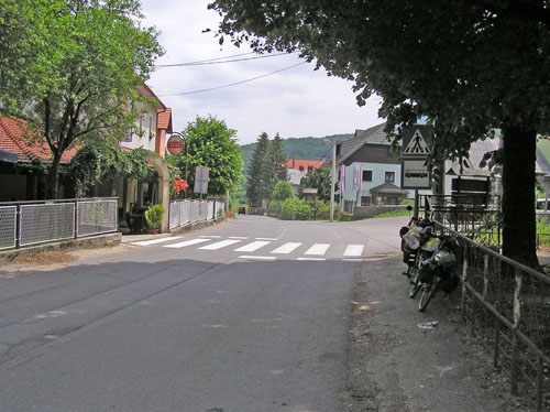
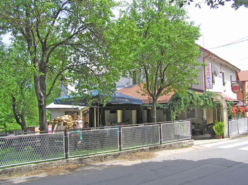
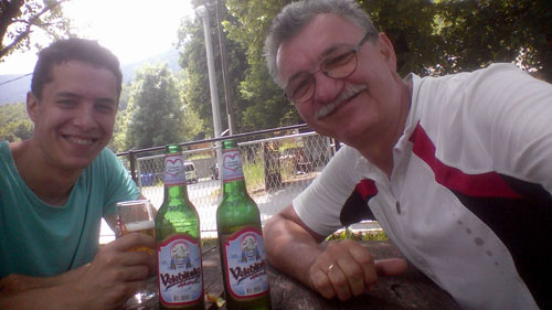
This cool shower of realities was even colder thanks to the unexpected and surprising uphill that followed immediately after descending into the field (maybe it is even seen on the last picture). So the field is not straight as it looked from the height but was at some the slope which seemed to us as a heavy and exhausting uphill. It was shocking to me this painful uphill ride after that enjoyment at descending. That all of this was worse, the wind in the face joined. Luckily, it did not last long, so we came to the Krasno village. In fact, we came to the very center of the village where we found an inn with a pleasant shade. In that shade, we refreshed the spirit and strengthened the body with a beer from this area - the Velebit Beer (Velebitsko pivo).
We left bicycles in one shade ...
... and we went to the other shade on the other side of the road ...
... on the Velebit beer (Velebitsko pivo)
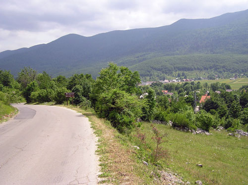
Further on, an uphill over 4 km had followed before descending to the sea. At the exit of the Krasno village we entered in the open shop and supplied ourselves with the necessary (cold) liquids, so we slowly, on foot, continued by the uphill. To the coast, and to the places of Sv. Juraj on it, we will come out far before the night, so there was no reason to hurry. And everything looks nicer when a man does not in a hurry.
We greeted the Krasno village behind us and the field of the same name in which it was. Although I've been here several times, at every visit, I have been delighted by what I saw or what I experienced. That's how it will probably be in the future as well.
The Krasno field behind us
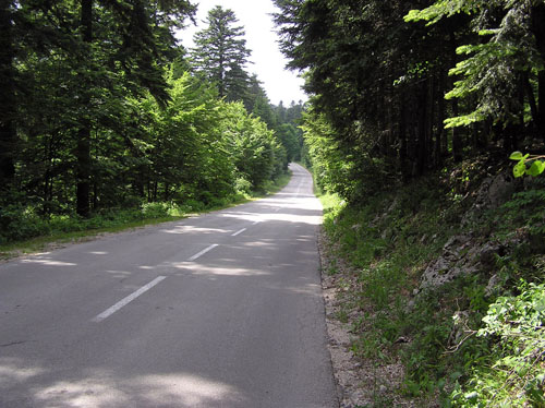
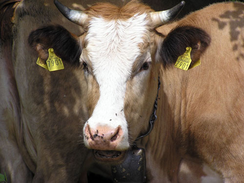
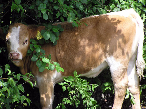
We entered into a forest through which the road swirled left-to-right. We gradually became accustomed that we were alone, that there was no one around us. That is why we were surprised when we saw the cow and the calf in the humble shade of the tree.
No one anywhere, the road and the forest only
Atom Heart Mother (for those who (still) listen to Pink Floyd)
It's important that the head is in the shade
The forest became rarer so we got a glance in the Velebit wilderness.
Although after an up-and-down ride, some gentle downhill has appeared, some sign, some form of proclamation of the "the right thing", we got when we encountered the turning for Zavižan (a mountain lodge on the Velebit Mountain). It would be good and interesting to go there, though it means at least 10 km of uphill and no asphalt. We left it for some other time, so we headed straight to the nearby the Oltari village (Oltari = Altars).
Backward view: From the left we came, to the right is the road to Zavižan (a mountain lodge on the Velebit Mountain)
Forward view: On that yellow plate Oltari has been written
The Oltari village – center
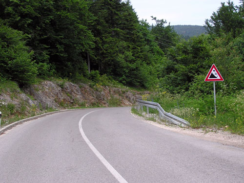
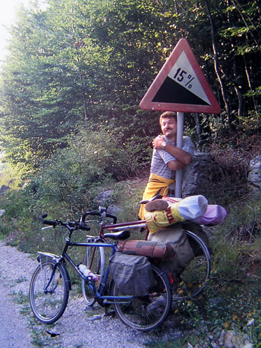
The Oltari village is 940 meters above sea level, which means that about 15 km of maximum enjoyment by descending the downhill will be followed. The favorite traffic sign to cyclists is - a dangerous downhill, it was it 20 years ago, and it is now. Because of an interesting conversation with a companion, I could barely notice it, but 20 years ago I had thrilled with it.
My enthusiasm 20 years ago
As in the age of childhood, so the special moment of travel is considered when seeing the sea for the first time. That's why we stopped for a while for photographing.
Forward view to the sea
Backward view to the Velebit mountain
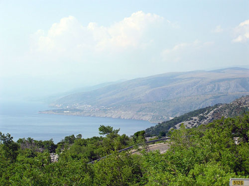
In the course of the ride, the view towards the sea became more and more widespread. During a short break I took a snapshot of the sea and after that, I turned around and photographed the Velebit mountain again from this sunny, seaside side.
The sea
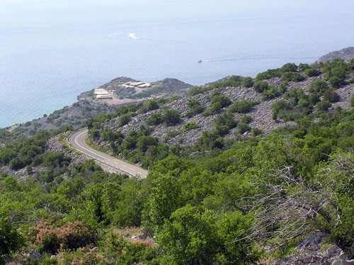
The sea again and the road we're going to downhill
The Velebit mountain behind us
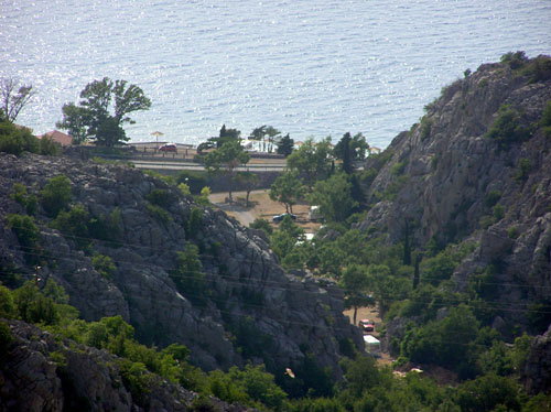
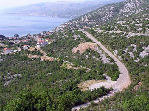
At one of the following sea views, I noticed that the rocks in one place spaced out and made some kind of cove. I stopped to photographing it. Only later did I realize that it was our campsite, today's goal of the journey. From the camp, I photographed in the opposite direction and here's how it looks to one another, face to face.A view from the road to the campsite
View from the campsite to the road
View from the campsite on the road - zoomed
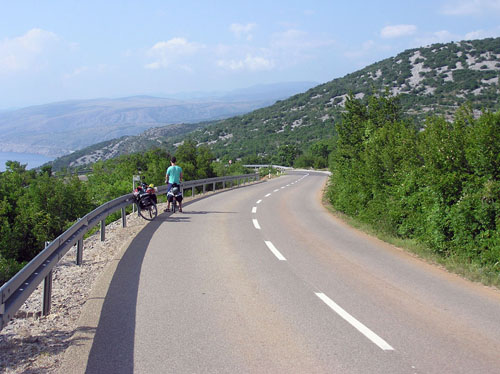
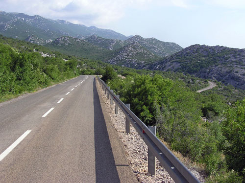
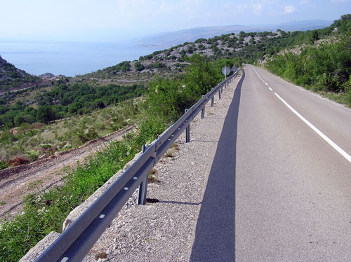
The road by which we rode downhill sometimes showed an unusual determination to keep straight.
Like the arrow!
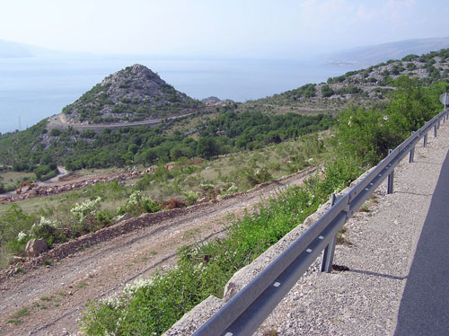
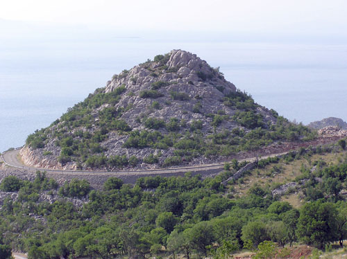
Particularly interesting for me was a hill in the shape of an almost a proper cone around which the road circulates, more than three-quarters of a circle.
After we had turned around that cone, we came above the village of Sv. Juraj (St. George), though it is for the members of the older generation known as Jurjevo (Georgeville), the name he wore during former Yugoslavia.
Sv. Juraj place/ Jurjevo place
Arriving at the Adriatic main road we had to turn left, towards the south, and after just over a kilometer we arrived in the campsite. It was a bit behind 6 pm and today we did 56km. Little kilometers for my great fatigue. One of the reasons for this fatigue was the neglected and superficial diet, in the morning before the start of the journey, and later too. This is my lesson for the future.
The sun was still high so there was time for rest, bathing, showering and anything that came to our mind. And when we have a lot of time there is no reason for a rush, so take a slowly.
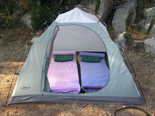
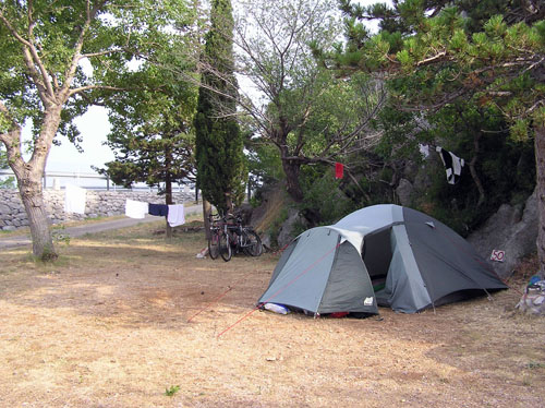
We placed the tent on the flat ground, but beside a rock that will make the necessary shade in the morning so our sleeping will be pleasant even after sunrise.
Our bedroom
Our gorgeous villa
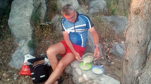
After we pitched the tent, showered, changed our clothes, for dinner I cooked the mushroom soup in the improvised kitchen. That warm soup, almost hot, we had eaten nice and slow, with a delight.
Chef in action
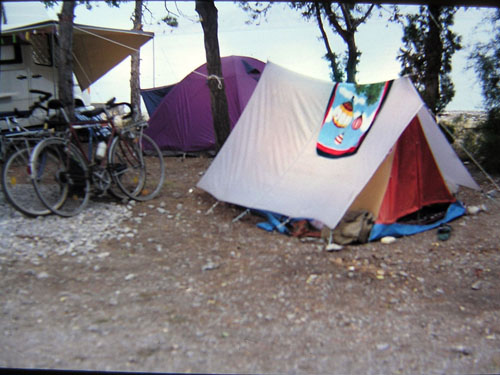
20 years ago, my wife and I preferred more the smell of the sea, so we pitched a tent by the sea.
In the same campsite 20 years ago
Although the image is a bit fuzzily, for the experienced eye will be enough to notice the improvement of the camping standard by comparing tents then and now.
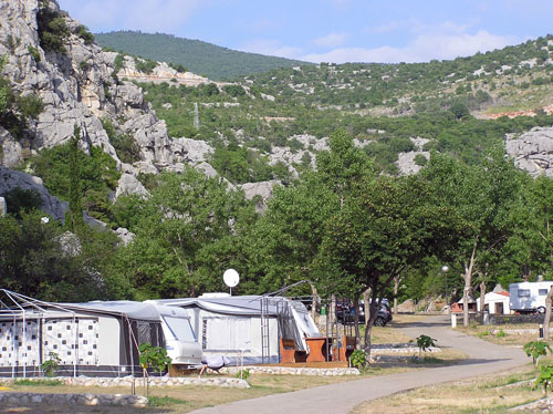
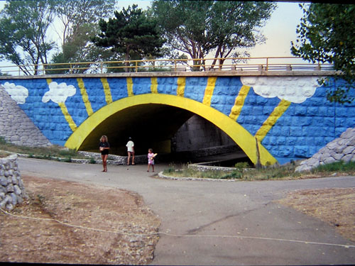
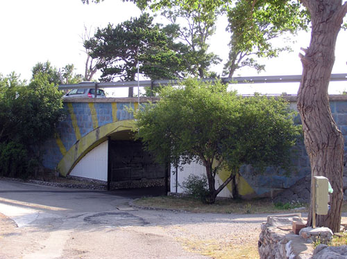
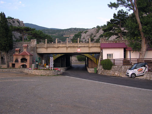
The camp was small, but horizontal, with a ground, without rocks, which in Dalmatia is a real rarity. Particularly even the original feature was the fact that the main Adriatic road passes through the campsite, more precisely, above it. Somewhere in the middle of the camp, where the road was enough up, some kind of tunnel has been built as a passage that integrates that two parts of the campsite. This tunnel is charming painted, so relaxed and calm campers do not notice the frenetic rush which happening "up there".
20 years ago
Today, by the mainland
Today, by the sea
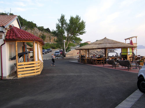
After we've done everything we needed, we decided to put a point on the letter I buy a beer in a campsite's inn.
The inn is to the right, the left is the reception, the entrance to the camp is straight, and far to the right along the vertical rock is the main Adriatic road
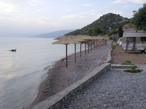
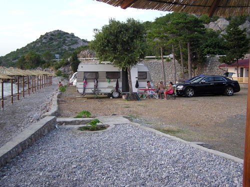
Pleased in the chairs, while drinking the paradise drink, optimally cooled, we watched the scene around us. There was also a pebble beach with parasols made of natural material and some Dutchmen with a caravan whose preferred the place to lie was in front of the sea.
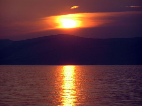
After we have been analyzing what happened today and detailing what we are going to do tomorrow, we greet the sun, so like it, we go to bed.
Good night, sun!
To continue this story click here.
Post je objavljen 11.03.2019. u 21:42 sati.
