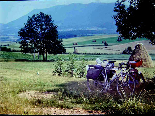
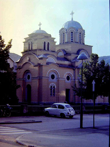
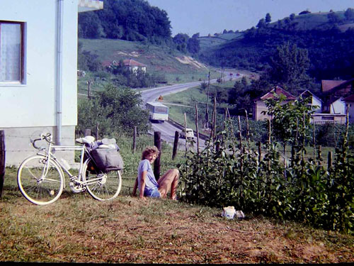
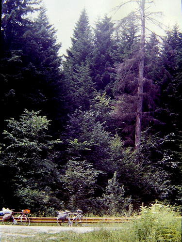
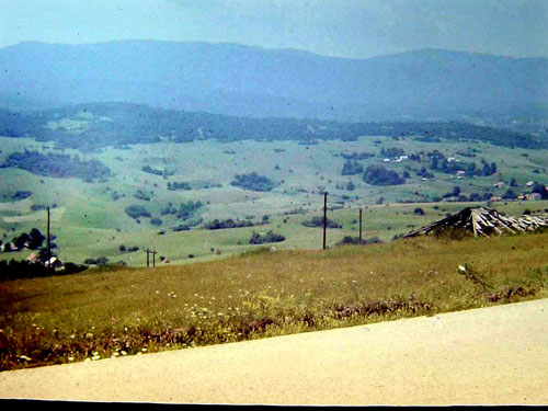
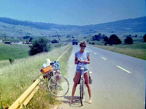
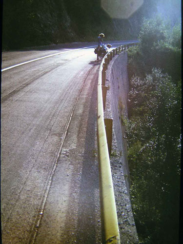
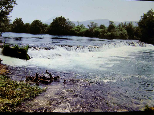
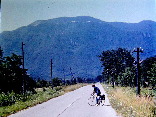
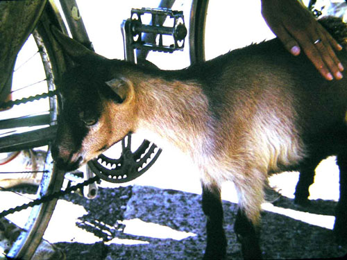
Pero and his bike
četvrtak, 17.10.2019.
Honeymoon 1987 Part One
If you don't want to read, you can see images here.
INTRODUCTION
Delighted by the last year's joint journey to the coast, that winter we were searching for new routes, roads and places which would be good for exploring by bicycle. We were with our "heads in the clouds", in love like two white doves and it seemed to us that everything was great around us. But neither her mom nor my did not dad had that attitude. They tried their best, in the manner of Mexican soap operas, to spoil that idyll for us. We tried for some time to explain to them the riskiness of the actions they were doing and the possible outcome of the events they would not like. But their stubbornness was unshakable, so the two of us decided to end it all. Within three weeks, we married and moved to another city where I found another job. Everyone probably has their own story about their wedding guests, but our one is, I suppose, especially interesting, though not very cheerful. I leave that story for another time and some other occasion, and I will continue to focus on the more cheerful part of the events after the fateful "Yes".
And finally, free and alone (the ideal of all in love) we could in "the peace of God" fantasizing, planning and accomplishing what we wanted. Due to circumstances, very soon after our wedding (a little over a month) the collective vacation of my new company followed, so we could begin to realize our wishes and dreams. Given the tumultuous events that preceded it, though we had not originally thought about it, this journey we can call our honeymoon. Although it lasted only (or even for) three weeks.
THE FIRST DAY OF THE JOURNEY
You can see the map of the first day of the journey here.
We started the journey from Slavonski Brod town on a hot day at the beginning of July, at exactly noon. We reached Slavonski Kobaš place up and down through Sibinj place and Oriovac place, and then we crossed the Sava River by small wooden ferry and reach Bosanski Kobaš place. We continued on to the Srbac town. The road went along the Motajica mountain on the left side and along the Sava river on the right side, and went mostly horizontal, with occasional shade. We quickly went through small Srbac small town, finding nothing interesting. At the same time, we were in a bit of a hurry to get to Laktaši before the dark, our destination for today's ride. About 2 km behind the Srbac town we passed the sparkling and murky Vrbas river whose appearance did not thrill us, so we continued our journey to the south by a local, narrow but paved road, on which was no major traffic. The road actually followed the Vrbas river but from some decent distance.
Somewhere in that plain, on the opposite side of the river Vrbas, I caught a stork with my camera.
At about 6 o'clock we entered in Laktaši town. In the centre of it, in the shade of the trees, we found an auto camp and pitched our tent, had dinner, and visited the surrounding area until sunset. Finally, we got into the tent, and fall asleep in our sleeping bags. In Laktaši there is a source of thermal water, so there was a spa with the hotel. The camp was some kind of the part of the hotel.
That was in 1987. Today, of all of that the empty shade of the trees is left and memory on this journey which flashes in me every time I pass by this place.
THE SECOND DAY OF THE JOURNEY
You can see the map of the second day of the journey here.
After getting up, storing our equipment, and after breakfast, we headed south to the Banja Luka city on an extremely busy, and not very wide main road. Fortunately, this tense, and at times creepy ride lasted about 10 minutes when we turned on the local road from the main road in the Klašnice place. The next 18 km we passed through the villages that make up the suburbs of the Banja Luka city.
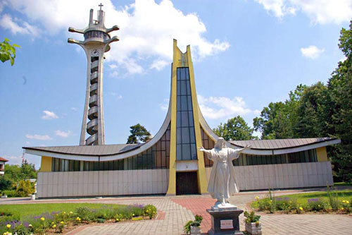
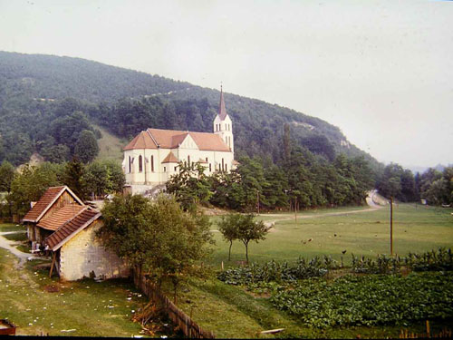
On our journey through Banja Luka, I captured a Catholic cathedral with my camera. When shooting, I put my sunglasses on the camera lens. I admit that it was a failed experiment of a photo filter for me.
How this cathedral looks like today can be seen in the picture below that I borrowed from www.visitmycountry.net.
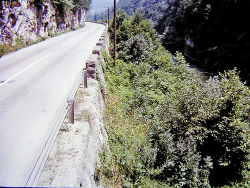
After passing the Banja Luka town, we again took the main road. We had to endure about 10 km when the traffic became very thin. When we entered the first of the three gorges, it became even rare, which finally allowed us to enjoy the scenery. The road was winding through a gorge. The Vrbas river was on the left side of the road, so with the sounds of his murmuring, instead of it, we watched the vertical rocks on the right side.
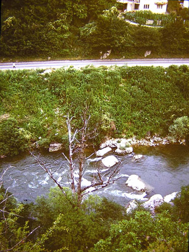
The gorge of the Vrbas River - looked back
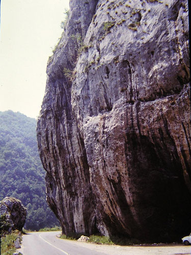
Especially interesting for us was a huge rock which was needed to be carved to made space for the road. So the road passes leaving a small remnant of that huge rock on the left.
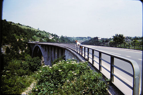
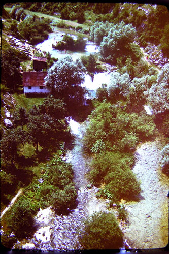
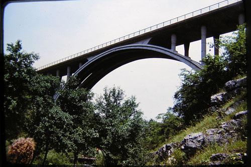
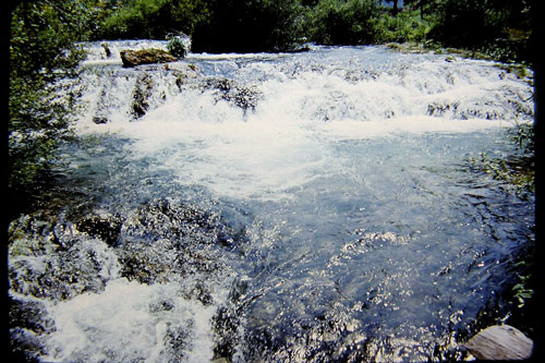
After the first gorge, the valley of a few kilometres has been followed into which the Krupa na Vrbasu place is located. On leaving the place, another gorge has appeared abruptly. At the narrowest point of the gorge where there were two vertical rocks, a narrow bridge for a local road has been built. Because of the sparkling and troubled river below it, it was interesting for me to take a break at this place.
After passing the second gorge and the small valley in which the village of Bocac is located, we were climbing by the newly built road with an ascent of about 5 km in length. The old road was flooded in the lake of the Bocac hydroelectric power station, and there was no road in the gorge of the newly formed lake. As we climbed up on the summit of the pass, we came across a restaurant, where we rewarded ourselves with rest and a cold drink. After a short but steep descent, we crossed over to the other side of the Vrbas River, still tamed into the lake form.
Enjoying the gentle uphill, which was almost imperceptible, on the new road after about 10 km, has been replaced by an old, much narrower and winding road. As there was virtually no traffic, this crossing to the old road did not disturb our enjoyment of the ride. On the contrary!
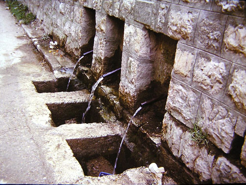
The first interesting thing was the three wellsprings with abundant and cold water, where we stopped for cooling both body and soul.
A kilometre behind these springs we entered the most canyon part of the canyon of the river Vrbas. The cliffs around us were vertical and high. Above us is just a small piece of the sky (the sun is shining very short here during a day). The road is either dig through the cliffs, or it breaks through tunnels, or rather holes in the rock, because the tunnels are raw, with no concrete on the vault.
Mainly, maximum exoticism (especially for me) or maximum anxiety (especially for her). Fortunately (or unfortunately) it didn't take long, so the road gradually was pulling out of the embrace of the surrounding cliffs and slowly was crossing into the valley. In this valley lies the village of Podmilačje with the church of Sv. Ivo (St. John), one of the most visited shrines by pilgrims in the latter part of June.
About a kilometre beyond the village of Podmilačje we crossed the bridge on the Vrbas River to the other side of the river, leaving the main, but still narrow road, where traffic was significantly increased due to the nearby Jajce town.
After a short break in the town itself, we continued along the Pliva River behind the town of Jajce and after 6-7 km we reached our present destination - the Pliva lake auto camp.
THE THIRD DAY OF THE JOURNEY
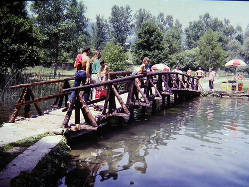
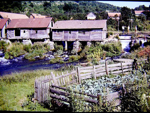
It was a day of rest. We allowed our bikes to take a rest all day, so in the morning we toured a nearby attraction - the mills at the Pliva river.
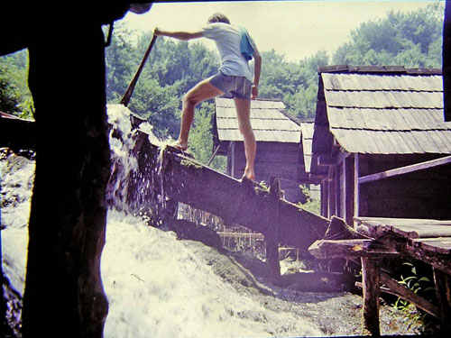
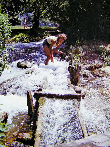
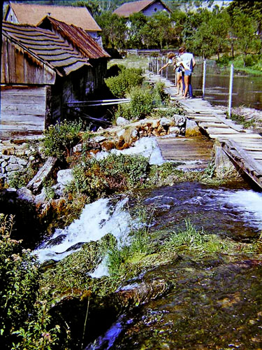
That attraction was a set of about 15 small wooden watermills with a system of wooden channels and a system for regulating the flow of water. All this is spiced up by the abundance of clean water that purls all around cheerfully. Anyway, in the end, we noticed that we were staying at this place for much longer than we planned another contribution to the claim that time passes faster if it seems to us more interesting and more comfortable with our soul.
The wooden watermills
Me as the young husband
Her as the young wife
It was two lakes, one above the other. These watermills were between these two lakes. There were walking trails around with small wooden bridges over the many small creeks that the water flowed between the two lakes
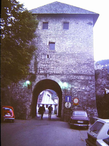
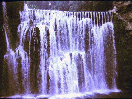
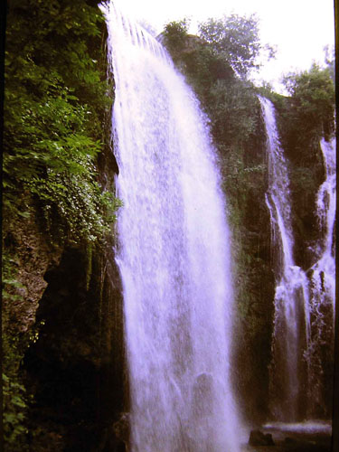
In the afternoon we left for a tour of the town of Jajce itself. Since it was more than 6 km to the town, I persuaded my young life companion that we go into the city by hitchhiking. And we got to the town quickly, even lightning fast. We have been driven by some guy with the mighty Fiat 132 and he was driving as much as 90 an hour (I saw on the speedometer) on a narrow and winding road. With prayers to the Lord, I repented bitterly for this idea. Because of this, at a return to the camp, we went by walk slowly, relaxed, with chatting, happy to have survived the hitchhiking without major consequences.
Entrance to the old part of town
The main feature of the town of Jajce - the waterfall of the river Pliva at the mouth of the river Vrbas
Waterfall observation point
THE FOURTH DAY OF THE JOURNEY
You can see the map of the fourth day of the journey here.
After having rested both soul and body yesterday, today we continued on the road which will be quite hilly. Since the watercourses in the upper part of Bosnia go in a south-north direction, and today we travel west, it means that we need to climb over a hill which separating the two rivers flow. Today, it is the Čadavica hill and the pass that we cross on our way from the Vrbas river to the Sana river.
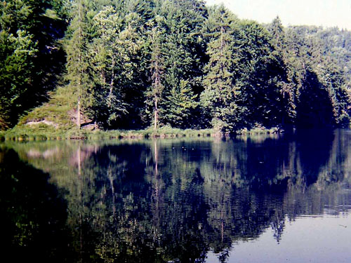
For the first 2-3 km, we rode a horizontal road along Pliva Lake, a wonderful combination of the emerald blue lake and the greenery of the hills that surround it.
After the village of Jezero, a more serious and longer ascent (3.5 km) followed, fortunately, facilitated by a beautiful wellspring somewhere halfway. After these 3.5 km uphill we enjoyed the view of the Mrkonjić-Grad town right below.
Unfortunately, an even longer uphill to the Čadavica pass followed. Before the summit of the Čađavica pass, and quite a lot from the Mrkonjić-Grad town, pushing our bikes along the endless uphill, we saw on the left side a smaller lake with swimmers who fully enjoyed in and around it.
We were so hot and sweaty with pushing our bike on the uphill, so the vision of swimming in the lake seemed to us appealing. Therefore we turned off the main road and walked a few hundred meters to the lake. The lake was not big, but it was clear and smelled of freshness, which further enhanced our desire for swimming.
But before the swimming, "technical problems" has been appeared. First, we needed to find parking places for our vehicles. Then we had to find a place and a way to change into bathing suits. And while we were solving these "technical problems" a dark cloud came from somewhere and covered the sun. Immediately afterwards, a cool breeze started to blow, which had cooled us so much that our desire to swim was gone. Now we needed to turn back ourselves and the bikes to their original state. And so we spent an entire hour without even realizing to ourselves what we wanted. But, the important thing is that we cooled down (albeit without swimming) and rested a bit, so this break was a good idea for us.
Finally the uphill ended with a relatively horizontal road. We climbed the Podrašničko field, which is on about 700 meters above sea level.
Although it was sunny, it was not so hot, so it can be said that it was pleasantly warm with a refreshing breeze. Delighted with the environment and the pleasant freshness, we forgot the torment during the climbing of the uphill.
Then our stomachs lit the fuel reserve light. It was lunchtime, so we took lunch slowly in the shade. We leaned our bikes over each other and spread our lunch on the grass.
After lunch and rest, a long downhill into the valley of the Sana River followed. We came across a local river bath used mostly by local kids. Well, if we haven't already swim on that one lake, we could be here. And, after changing into swimwear, we got into the water - and got out ten times faster, better said, flew out of it. The water was clean, it smelled of freshness but it was cold, very cold !! Besides that kind of water, we were satisfied with lying on the shore. Well, that's not bad.
After swimming or "swimming", we packed up and drove to the Ključ town, a kilometre away, for a tour of the town.
Orthodox church in the town of Ključ
After a tour of the town where we didn't see a lot, we had to solve the problem of overnight staying. On the way out of the city to the west, we chose a beautiful meadow by the house. We parked our bikes, so I went to ask the host for permission to pitch a tent. I did not even utter my plea to the end, and the man wholeheartedly said that we could easily do what we intended. And as the two of us slowly unloaded our luggage and then started to pitch our tent, our host came with a litre bottle full of clear liquid and two small glasses.
"You have to taste this, this is my homemade brandy! "
I don't drink brandy in that time, or before, or even today when I am well past sixty. But for fear of offending the host, I poured in my mouth the peppery aromatic fluid, frowning with every muscle on my face. While I was going through the difficult times of my life with that liquid in my stomach, the host poured another glass (to the top, you know, so the guests would not think that he is a miser !?) and handed it to the my companion. She resolutely said not to drink and glared at me, and with that sight telling the host that I would do it. A replay of my recent attempt at alcohol poisoning was following. With a few words of praise for brandy and a sour smile, we somehow managed to get rid of the host. After that, I turned to continue mounting the tent. But it was no longer that simple. Instead of one rope or a wedge, I saw two or three of them and worse, they were constantly merging into one and again disassembling. Two full glasses of strong brandy on an empty stomach and tired body, otherwise not accustomed to alcohol, was too much. Slightly slower and more clumsy than I expected, I nevertheless pitch the tent up. Together, we prepared the inside of the tent and sleeping bags and, after a modest dinner, lay down in deserved rest just as darkness swallowed the last remnants of light.
THE FIFTH AND THE SIXTH DAY OF THE JOURNEY
You can see the map of the fifth day of the journey here.
Something wonderful in life is to get up early on a fresh sunny summer morning, that morning which, because of "the strong anticyclone that there is above our area," promises hot, sunny day. This is how it looked to us that morning when we left the tent. After a good night's sleep, we were cheerful and happy. We packed our equipment, and behind us, we left the curly grass only. That grass had the fate to be found under our tent, as the only trace of our presence last night.
The place where we slept last night
We thanked the host for their hospitality and started pushing our bicycles on a winding road with long uphill. Traffic was are in the morning, the road wide, the morning pleasantly fresh, so we cheerfully pushed our bikes. And we pushed them for a very long time because we had the Grmeč mountain in front of us.
And finally, already well warmed up, we climbed on the summit of the pass from which nothing could be seen as it was surrounded by thick pine trees.
After the break, a surprising (almost disappointing) short downhill followed. Besides the surprise in the form of a short downhill, the pine forest was unexpectedly moved too and a wide view of the Bravsko field appeared in front of us.
Because of the sparse forest, and the same grass in the meadows where more and more grey rocks peek up, it looked more like the Lika region than the Bosnia region. Otherwise, we compared the two regions all the time, because until a month before this journey I lived in the Bosanski Brod town (so I represented the Bosnia region), while my young wife was for the sake of her father (and my current father in law), otherwise from the Lika region, she spent her summers in the Lika region (so she represented the Lika region).
We were slowly riding up and down through the Bravsko Polje, so we forgot a disappointingly short downhill when we were descending from the Grmeč mountain. A long downhill with beautiful views around the road suddenly followed. And just as we delighted, the downhill finished. It was replaced by a more or less horizontal, but winding road. Later, looking at the maps, we realized that we had descended from the higher, the Bravsko field into the lower the Petrovacko field with the Bosanski Petrovac place as well.
Bypassing the Bosanski Petrovac place, we continued on the road straight at the intersection at which on the right the road goes to a few hundred meters distant to Bosanski Petrovac place, and on the left. over the Ostrelj pass, the road goes to the Drvar town. Even though we were 5-6 km away, the view of this pass was awe-inspiring with its massiveness and at the same time a challenge, typical for this type of traveller as I am. What's behind it and what he sees when he climbs on the summit of it? I have not found the answers to these questions to this day, so I still wait patiently for one day to find those answers by riding on that the pass. Well, if someone went through that pass, I'd be glad if he writes to me a letter or two or sends some pictures to me.
The road started to go up and down slightly again, eventually staying just uphill. It was not a steep uphill, but it was quite long. Although we were at a relatively high altitude, the sun was shining enough hard to became us hot. Besides that, one of my wife's knees started to hurt, so pushing the bike became problematic to her. At least we mitigated the problem by tying her bike to mine, so I pushed my own and at the same time pulled her bike. In doing so, her bicycle looked like a drunk who was well exaggerated, so someone should constantly steer him in the right way. Her knee graciously accepted that our common gesture, so with patience and restraint it joined the general effort for climbing to the summit of the pass.
And we made it climb to that summit of the pass. After resting, both body and soul, we started with a slightly winding road with s gentle downhill. In the beginning, it looked like these previous downhills which were with a couple of curves and a couple of straight sections and that's it.
But this time it was not so.
Instead of ending that downhill, it was becoming steeper and steeper, so the ride got faster and faster. Accordingly, and our enthusiasm grew more and more.
One of the breaks on the long downhill
The road went downhill, meandering between hills. And then we got a wonderful view of the Una Valley and the Bihać town somewhere down. Now we finally let our enthusiasm flare up as much as it can. We had completely lost the meaning of time during riding on the downhill. We just know it was really beautiful, so we were a little disappointed when the downhill ride ended.
We descended into the Una valley which spread out into the Bihacko field here. We entered in the Ripač place, and thus they reached the river Una. In the company of the railway, we continued along the plain towards the Bihać town. After some 5 km of riding, we reached our destination for this day- an auto camp near the Una river, some 3 km before the Bihać town.
That camp was very young. It opened two years ago and I spent the night there when I went to the coast by bike for the first time. The little trees that were two or three inches thick, and they got an inch or two more in diameter since then, which still does not guarantee a big shade. That we will notice tomorrow, because today, to be more precise, tonight we entered the camp at sunset. As we unloaded our equipment, pitched our tent and showered, it was already complete night. But this did not concern us too much because the camp had lavish lighting.
Considering that today we have travelled 90 kilometres, we decided, as we were clean, beautiful and fragrant, to have a great dinner in the camp restaurant, located above the Una river, from which we were occasionally breathing the aromatic freshness of clear and ripple water. And we were also very hungry, especially with hungry eyes, so we ordered mixed meat for two. And the portion was almost for four, not for two. We ate as hungry from Africa do, living only for the present moments of chewing with a full mouth, not thinking about the consequences.
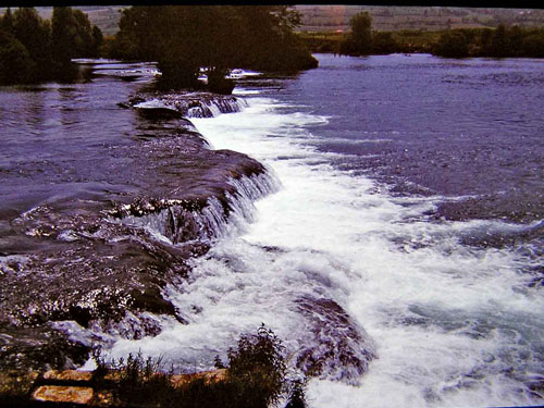
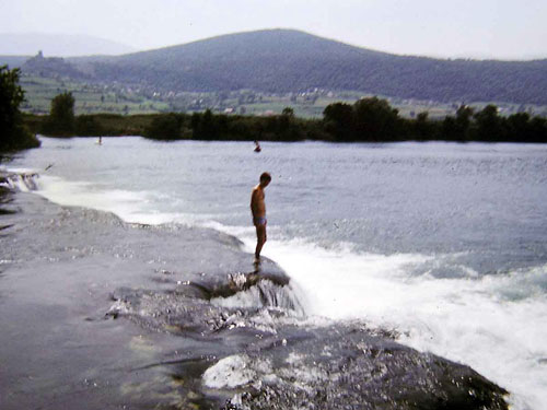
And they came a couple of hours later when we wrap ourselves in sleeping bags. For my stomach, which is rougher by nature and accustomed to everything and everything (for some things in life it is necessary to "have a good stomach"), the problem manifested itself in repeated successive awakening and rolling over at sleep. The problem solved by a longer visit to the campsite's toilet early the next day. But with my wife, whose stomach was gentler, the effects of the "excessive meal and drink" of last night lasted longer. The whole next day she did more or less what I did last night. We walked slowly along the Una coast watching the merry bathers, I even walked through the rocky barriers on the Una river, while she sat in the shade trying to catch a healthy air.
A rocky barriers on the Una River
Me on the rocky barrier on the Una River
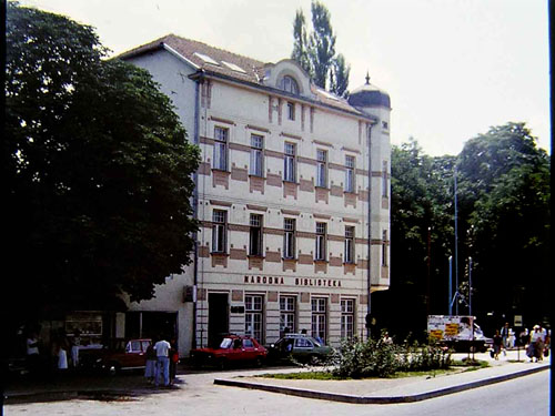
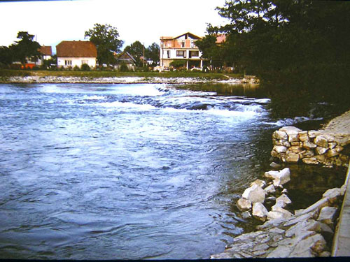
It was only in the evening that my beauty got healthier complexion, so it became as beautiful as she was before, and we even walked to the Bihać town. The "moving to health" recipe helped this time too, so her stomach was able to digest to the end the effects of the dinner from last night.
The public library in the Bihać town
River Una in the Bihać town
THE SEVENTH DAY OF THE JOURNEY
You can see the map of the seventh day of the journey here.
The next night we slept properly, with a night solid and healthy sleep. We woke up healthy and rested, ready to go. Today is not a very long road ahead, but we have to overcome the big difference in altitude. Our goal today was to climb to the "Korana" campsite in front of the Plitvice Lakes. Knowing that our mileage was not great for today, we slowly moved on uphills to enter the camp in the afternoon. We pitched a tent and placed our bikes, so we spent the rest of the day touring one of the largest camps I had seen before. I would like to remind you that the story of this journey takes place in 1987, one of the years when the number of tourists in this area was maximum, perhaps still not reached today (2019).
THE EIGHTH DAY OF THE JOURNEY
You can see the map of the eighth day of the journey here.
The Korana River is made up of water from the Plitvice Lakes. This time we didn't tour the Plitvice Lakes because we did it last year on a bike ride during at one of the summer weekends. The following 5 images were taken during that ride.
Her on the Korana bridge
The river Korana viewed from the Korana Bridge
Koran Bridge viewed from the Korana River
The Korana River under the Korana Bridge
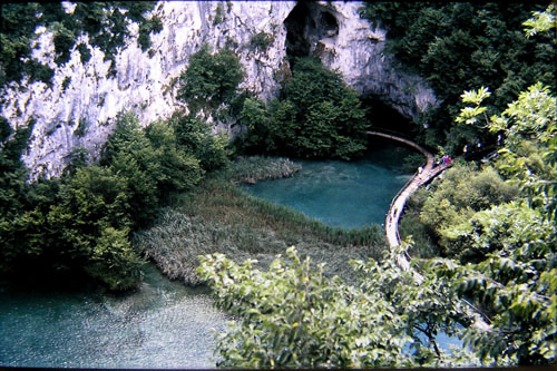
The Plitvice Lakes with a walking trail
Looking at the maps and inquiring at the front desk ("you read the map, but you ask peasant") we found out that the idea of our further journey along the Plitvice Lakes by local road is achievable. So, from the camp, we drove a few kilometres along the main Lika road to the south, leaving it by turning right onto a narrow, but still paved, the road just before the Korana Bridge (the bridge over river Korana). Traffic is zero, but therefore significantly riding uphill - downhill.
View from the local road to the Korana River (below) and the main Lika Road (across from the valley)
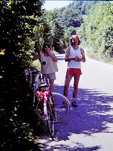
Quite unexpectedly, behind one bend he and she, about our age, appeared on bikes. Of course, we stopped all of four of us. We turned away from the sun into the nearest shade and slowly talked. We found out that they were from the Vršac town, Serbia. Part of their journey was by train. They are currently stationed at the campsite that we left this morning, so now they are only biking, without luggage, touring the nearby and further surroundings of the Plitvice Lakes.
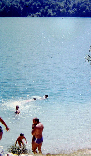
In continuation, we stopped at the largest of the Plitvice Lakes, the Kozjak lake, and we took swimming in it. The water was warm and clean, with only a slight odour of sludge, which did not spoil the pleasure of swimming. On the contrary!
The Kozjak lake...
...and swimming in it
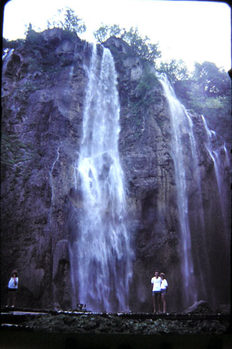
We continued driving and a mile or two further we crossed a small bridge over the Plitvice creek. This creek 20 meters away from the bridge collapses in one of the Plitvice lakes, which makes it the largest of all Plitvice waterfalls. The height of that waterfall is 78 meters.
Starting point of the highest waterfall
The two of us below that highest waterfall (filmed a year before)
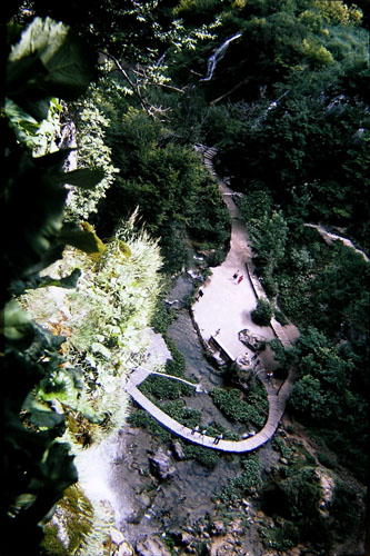
View of the trail from the place where the biggest waterfall start to fall (you can see water spray on the rock)
After the Plitvice creek and a short downhill, we came to an intersection where we turned right. Not that it's a big mistake, but we realized later that it would be better if we turned left. In fact, we were scared of the special buses that drove tourists on the narrow road around the lake, so we turned on this road that goes into the dense forest on a long uphill.
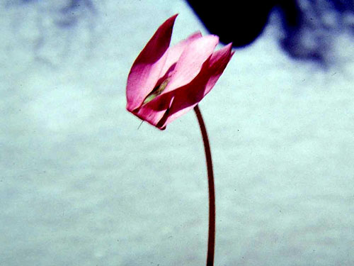
Driving through this dense forest, on one of the pauses, we found real wild cyclamen by the road.
Gradually driving, we noticed the complete absence of any vehicles on the road. We were absolutely alone in a large and dense forest. Some fears, now funny, began to emerge, but then they caused great concern. My fear was gradually crystallized in the shape that one of the bears from dense Lika's forest heard of our arrival, so now he wants to welcome us personally. Fortunately, apart from my irrational fear, nothing bad happened to us.
But really, something beautiful happened.
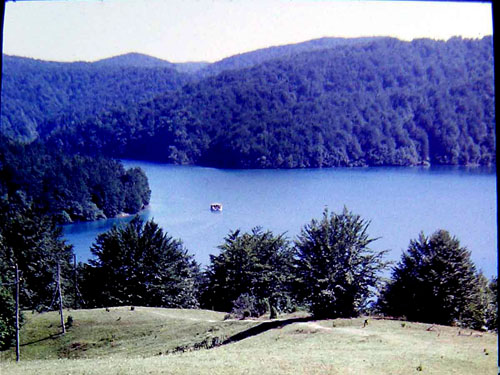
Just when we thought we would not get out of the forest this year, we appeared on the Proščansko Lake, the highest of Plitvice Lakes, suddenly. This is the lake which for tourist is "so far away lake," because it is at the end of the sightseeing tour, so it is mostly unnoticed on the tours. The result of that was peace and quiet, the true enjoyment of the blue sky, green forest and emerald water. And some blissful tranquillity.
The Prošćansko Lake – peace, quiet and tranquillity
As we drove uphill, the lake was narrower and narrower to eventually be reduced to a small creek along which the road continues, now with a smaller or greater uphill slope. Eventually, the stream disappeared as well, we left it somewhere down while we climbed on a long uphill. In the end, the uphill disappeared too as we climbed to the summit of the pass called the Čudin Klanac pass (798 meters above sea level), where we joined the main road from the Korenica town. On this road, we started with a slight downhill towards the Vrhovine place and the Otočac town. Down to the Vrhovine place, the downhill was ridiculously small, which suited us, as it was wonderful to see the ambience of the Lika region on both sides of the road.
And then the road behind the Vrhovine place went down with a large downhill (large both by slope percentages and by kilometres in length), and after more than 5 km of pleasure, we entered in the Gacko Field. Our goal for this day was the Čovići village, a place 5-6 km before Otočac where our Lika tour of visiting brothers and sisters of my father in law begins. Everywhere we came we were kind of an attraction because people don't often come by bike from the Slavonia region to the Lika region. And so the journey of the eighth day ended.
But the story of the eighth day is not over yet.
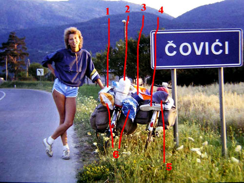
I would like to stop here for one of my most beautiful portraits of my wife. I leave it to you to judge the happiness and pleasure of her smiling face yourselves. I would dwell on cycling equipment.
Number 1 is an aluminium pan for baking (or for trying to bake), eggs with bacon or salami
Number 2 is a domestic thermos bottle. It required a PET bottle of one and a half litres. From the styrofoam board, I cut circular rings whose inside diameter is equal to the diameter of the bottle. I put these rings on top of each other around the bottle and glued them with silicone adhesive. This way I got a good and light insulation 2 cm thick around the bottle. This worked, as the contents of the bottle remained refreshingly cold for a long time.
Number 3 is a small pot of one litre capacity for cooking soup, heating milk and the like.
Number 4 is brand new (see picture, they are unused yet) Adidas Rom sneakers. The concept of top-class sports shoes at that time and in that country (former Yugoslavia).
Number 5 is a double-layer tent for two people (190x140 cm) purchased five years earlier in Munich for 100 DM (Deutsche Mark).
And lastly, the number 6 are sleeping bag pad wrapped in nylon bags so they don't get wet during the rain.
THE NINTH DAY OF THE JOURNEY
Most people who live in the city mostly remember their near and far relatives in the country during the summer. It was the same in the Lika region with my wife's relatives. My wife's sister, now my sister-in-law's status, also arrived in the Čoviće place at their aunt. So together we visited the trademark of the Gacko field - the river Gacka and especially its water spring, here under the name Vrilo Gacke. Absolutely the greatest water spring I have ever seen. Along with the source were the now-abandoned mills. An abundance of clean spring water purled all around us. The clarity and purity of the water smelled in the air. That was something really impressive.
THE TENTH AND ELEVENTH DAY OF THE JOURNEY
You can see the map of the tenth day of the journey here.
Today we planned about 25 km to the hamlet of Duman of the Čanak village, where were the homeland of my father in law and where his brother with his family live now. So we didn't have many miles to go, but we did need to climb some 450 meters in altitude difference. That means we drove when the road was horizontal and we pushed ous bikes when it was uphill. There was no downhill at all.
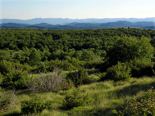
But there were wonderful views of the countryside.
Behind the last mountain in the image is the Adriatic Sea (filmed in 2009 during some other ride)
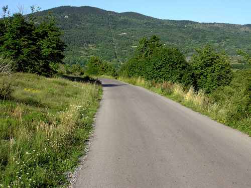
The road we walked on was free of traffic. Narrow but paved, it looked more like a bike path than a real road.
The view back at the long uphill (filmed in 2009 during some other ride)
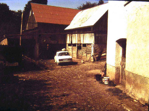
At the house of my wife's uncle seemed that all known and unknown relatives have come. A lot of people! There were so many people that they offered us a narrow sofa in the corner of one room for the night. Instead of what was offered to us, I gently and considerately asked if the two of us could sleep in a hay tank above the barn. At the first time they didn't agree (well, it's a shame for them that the guests sleep on the hay), but at last they agreed. For them as a host, this was a practical solution - we freed the couch for one of the other guests.
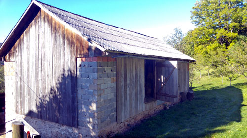
Here's an idea for an unforgettably enjoyable night.
We put a sleeping bag pad and sleeping bags on the flat part of the hay, and we have crept in that sleeping bags. The scents of medicinal herbs surrounded us so that overnight we have acquired at least one year's immunity to all known and unknown diseases. I had a bit of a problem with my sweetheart who, unlike me, is a pure city kid. It was hardest for her to survive the first minutes of the night. The night was dark, total dark. There no any kind of light, even the smallest ray of light. The eyes were falling out from the intense effort to see at least the slightest glimmer of light, but there was not anything of it. And the dark, total dark, give rise to fear in us, so when we cannot see anything, then we will do our best to make it seem to us that we are seeing something. And in fear we see all sorts. So my sweetheart saw that tonight and right here was the annual gathering of all bears, wolves and other beasts of the Lika region. Because they heard we were going to sleep here. My conviction that I closed the door from the hay tank and blocked it from the inside that even firefighters outside cannot open it did not help a lot. But what my words couldn't, my hug could. So, in the end, embraced into one we fell in sleep in a blissful dream that became like that as soon as the irrational fears disappeared.
The next evening was easier, but still, we fell asleep embraced. Just in case.
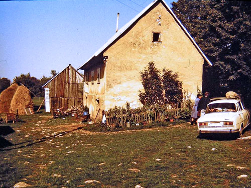
To the right of the car is a stable with a hay tank above it, where the nightly drama took place (filmed a year later)
Door through which was the entrance to a hay tank (filmed in 2019)
THE TWELFTH DAY OF THE JOURNEY
You can see the map of the twelfth day of the journey here.
Last night, they solemnly informed us by television that "the heavy rain from the west this night will spread over our regions." As a forerunner of that, the morning was overcast but there was not windy , so it was kind of sinister calm and quiet, just like before the storm. We ignored these signs as well as persuasion by the host that it would rain quickly and that we would not get far. Our goal for today was the Perušić place, 40 km away from here, and there was downhill in front of us of 400 meters in altitude difference, so it looked like we would be there quickly.
But, man dreams, and God determines. Instead of 40, we rode 4 kilometres to the next village of Ramljani, when the rain started to fall. We had just so much time to turn off the road to my aunt's second aunt, which we didn't plan to visit (well, when these relatives here in the Lika region have a lot!). But there we were where we were! My wife's aunt and uncle were clearly glad that we stopped at their home, so we started to talk about everyone and everything. While we were talking, I looked out the window. After an initial downpour, the rain turns into a slow, persistent and endless falling of the raindrops. One of these my viewing out the window the host noticed, and "cheered" me with his prediction "that it will not stop today".
And so was it.
Tucked into a small room, but with the pleasant atmosphere, four of us were talking everything and everything, so with the arrival of the night (the rain kept falling) we had to solve the problem of an overnight stay. The host and the hostess let us next door, their bedroom. In it was a huge double bed with a big picture on the wall of our hosts while they were newlyweds. The whole ambience of that room seems to have remained unchanged since the time when our hosts said to each other "Yes" at their wedding, although it has been 25 years since (And today I can't stop regret not having a picture of that room).
And when we went to bed and covered ourselves with the blanket, it was pleasantly warm because the persistent rain brought with it the air that became uncomfortably cold, though it was summer (still, we're almost on 900 meters above sea level).
It seemed to us that as soon as we fell asleep, suddenly we have been waking up by - an earthquake. Confused and frightened, we stared at total darkness, wondering in panic what to do now !?
Then we realized!
Old houses in this part of the Lika region were often built on two floors to keep warm during the winter which was really cold. Downstairs was a stable, and above it was a hosted apartment.
So our room where we slept was just above the barn where the mare was. In moments of boredom, that mare was combing at a pole to which she was tied, producing vibrations that we, in a panic, misunderstood as an earthquake. Calmed by this knowledge, we fell asleep, but the mare, eager for company, often woke us up during the night.
The house where we experienced the earthquake (filmed a year later). Down, on the left side, is entering in the stable and up, at the right side, is entering in the house
THE THIRTEENTH AND FOURTEENTH DAY OF THE JOURNEY
You can see the map of the thirteenth day of the journey here.
In the morning the rain stopped, so after breakfast, we continued to where we left off yesterday. By the local road, we crossed the railway at Licko Lesce railway station and got out on the Otočac - Gospić road and turned right towards the Perušić place.
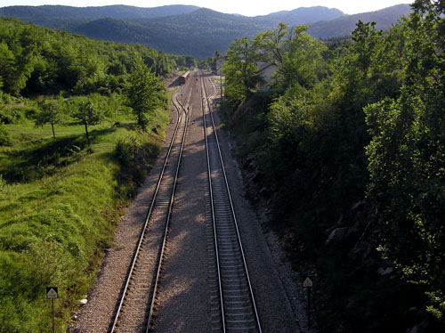
The Ličko Lešće railway station (filmed in 2009)
After 3-4 km downhill we descended to the Ličko field and at the entrance to Perušić came to the next of my wife's aunts in this area.
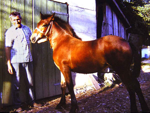
My wife's uncle boasted to us about the foal which his mare brought to this world.
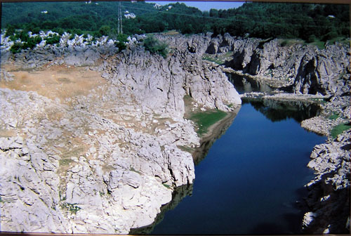
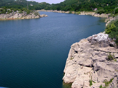
Of the interesting thing in this area, which we visited the next day, was the Lika River, which is about 3 km distant. That river was in the gorge of vertical cliffs of still water in the form of the reservoir lake of the Senj hydroelectric power station.
The Lika River and Lake at the same time
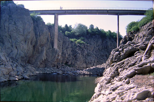
Depending on more or less rain in summer, the water level can be higher or lower. For example, I filmed the water level in the lake/ river on more or less the same location but at different years.
In the year 2000
In the year 2009
The above two images were taken from the bridge in the image below
Filmed in the year 2000
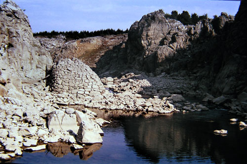
But I saw the least water level in the year 1990. The water level was so low that, after who knows how many years, the remains of the old dam and water mill came out of the water.
THE FIFTEENTH DAY OF THE JOURNEY
You can see the map of the fifteenth day of the journey here.
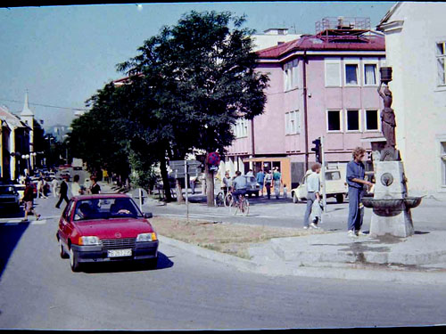
It's time to move on. In the morning, after breakfast, we said hello to my wife's aunt and uncle and on a nice, fresh and sunny morning we headed to the Gospić town. After about 15 km of mostly horizontal riding, we arrived in the capital of the Lika region, what the Gospić town is. The waterspring was particularly interested in us. It was in the very centre of the town. Above it was the statue of the Lika girl - water carrier.
Otherwise, unlike Bosnia, which is rich in watersprings, water in Lika is rather scarce and sought after commodity. There are very few water springs, so they mostly come to the water by collecting rainwater from the roofs of their houses into concrete tanks built in the ground, here called "šterna". And if you come across a real water spring of liquid water (like this one here), well, that's worth as gold.
From the Gospić town, we continued along the plain toward the Veleit mountain, which was in front of us.
The Gospić town is located in the Lika Field at an altitude of over 500 meters, and we need to climb on the Oštarijanska vrata pass which is on an altitude of 928m. So we had an uphill of over 400 meters and a downhill of over 900 meters height differences. Fair enough!
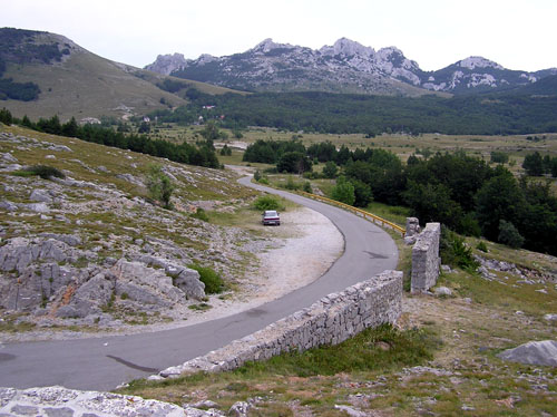
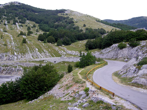
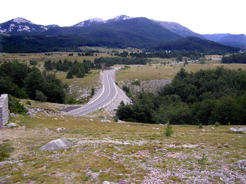
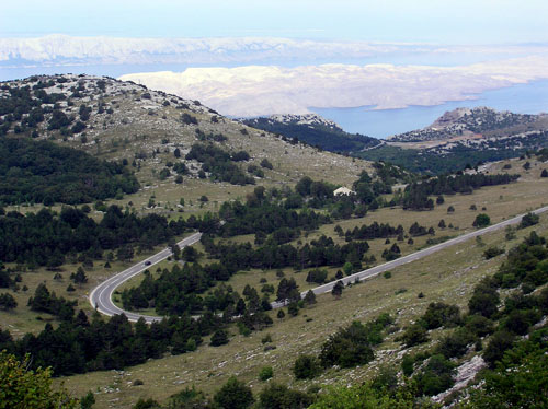
These "over 400 meters of ascent" stretched for 6 kilometres real uphill, not counting the weak uphill on which we drove. This real uphill slope came after we left the last houses in the village of Brušani. The road was winding through the forested Velebit, where there was no sign of human existence except the road. Only the forest and rocks. This also has a positive practical feature for cyclists, because as soon as the forest is nearby it is immediately fresher air (natural air conditioning) and shade along the road which was a frequent occurrence for resting both body and soul.
The Velebit mountain…
…and road with uphill on it
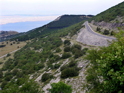
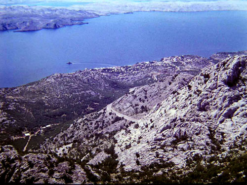
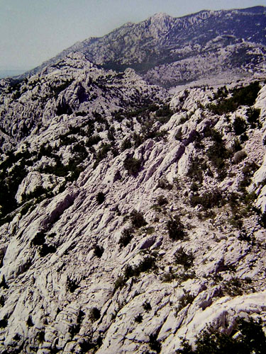
Near the summit of the pass, we drove a little downhill, descending to the Baške Oštarije village, and then slightly uphill again when we finally arrived at the summit of the pass. And this pass is one of those that we were sure that we will stop. And after we stopped, we lingered for so long that we are surprised at the time we spent on it. And however long it may be, we were sad, after we continued our journey, why we did not stay a little bit longer. Because it was so comfortable! The reasons for it were the views on the environmental. On one side (the Lika region), the view of the Velebit mountain is a combination of grey rocks and green forest, and on the other side (coastal) a fantastic view of the exposed rocks of Velebit, the Adriatic sea, the Pag island and other islands. I felt like a bird watching the landscape from above. Something marvellous!
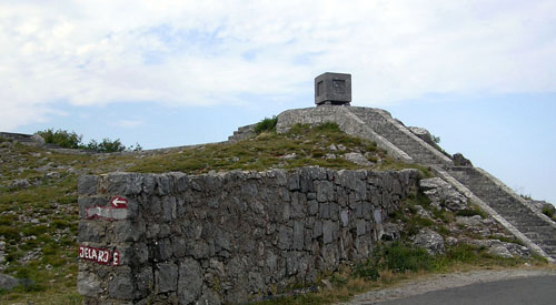
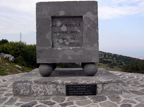
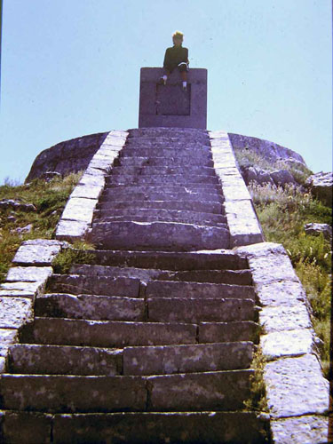
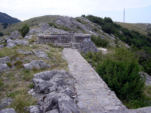
The summit of the pass is located at an altitude of 927 meters. When building the road, builders built the monument in 1846. The monument is in the shape of a cube, called "Kubus" or "Ura" which is located on 4 balls. 33 stairs lead to this monument. From the monument is a footpath of several dozen meters to a place for rest in the form of a stone circle. Here visitors can rest their bodies while watching the beautiful environment.
Stairs and "Kubus" (filmed in 2009)
"Kubus" with inscription: Ferdinandus I. Austrian Emperor MDCCCXLVI (filmed2009)
My wife on "Kubus"
Stone path to the stone circle, some kind of place for rest (filmed in 2009)
The stone place for rest (filmed in 2009)
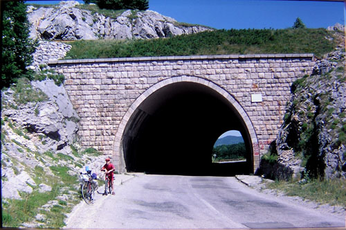
In 1968 a tunnel was broken under the pass, so a new road bypasses these stone monuments.
The tunnel which was broken in 1968 (filmed in 2000)
Old road to the pass from the inland - view of the surrounding the Velebit mountain (taken in 2009)
The old Road from the pass to the Adriatic Sea (recorded in 2009)
The new road from the inland with a view of the surrounding Velebit - the road disappears into the tunnel (filmed in 2009)
After leaving the tunnel, the new road continues towards the Adriatic Sea (filmed in 2009)
View from the pass to the new road that continues towards the Adriatic sea (filmed in 2009)
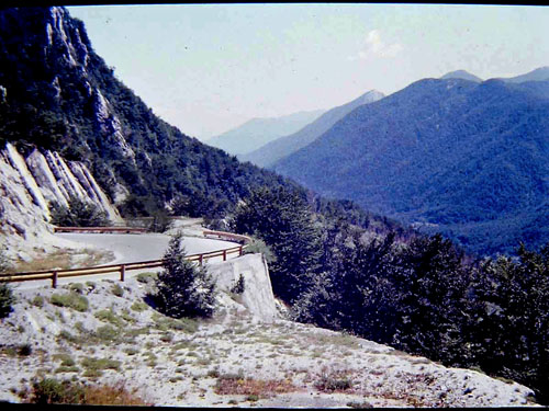
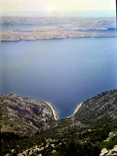
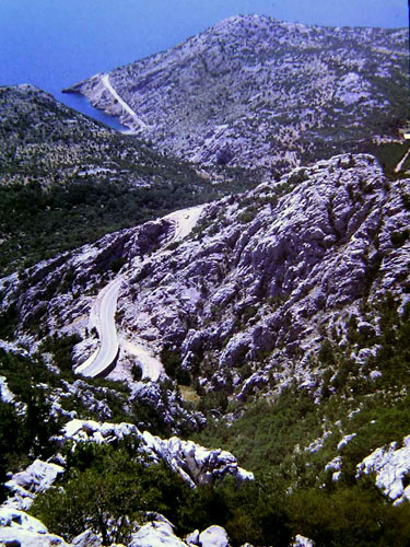
After enjoying this marvellous views, something even more marvellous follows - over 17 km of clear downhill to the Karlobag town without a single pedal turns. And how to stay calm after all this!?
The Karlobag town, a ferry and the island of Pag
The main Adriatic road (down) and the island of Pag (above)
One short break
Our road (above) and the main Adriatic road (down)
The rocks of the Velebit mountain
As we descended towards the sea and the coast, we felt a change from the mountainous to the coastal climate, first by the temperature of the air, then by the scents, and finally by the sound of the coastal crickets.
At one break before entering the Karlobag town we came across a herd of goats. My wife was particularly interesting to one of them, so it approached her.
In the Karlobag town, after half an hour of rest (it took us so long to calm down), we took the ferry to the town of Pag on the island of Pag. That's where we found a car camp almost downtown and ended this, perhaps the most exciting and exotic day of this journey.
You can view the continuation of this travelogue here.

Dnevnik.hr
Gol.hr
Zadovoljna.hr
Novaplus.hr
NovaTV.hr
DomaTV.hr
Mojamini.tv
Comments
Any kind of comment, please send it to
pero.dupcek@gmail.com
You can see these and some other travelogues in the Croatian language here.
Retro rides
The River Tara and its bridge
Under which circumstances your narrator experienced one of the two most lively moments ih his life in 1985
The first time with the girlfried to the coast
How romantic was it around me, around her and around the bike in 1986
Honeymoon 1987 Part One
Part one of the best Honeymoon of all Honeymoons
Honeymoon 1987 Part Two
Part two of the best Honeymoon of all Honeymoons
Days rides
Caroline 2016 - Part One
Part one of the riding on the Caroline road
Caroline 2016 - Part Two
Part two of the riding on the Caroline road
Istria 2020 Part One
The first part of a story about Istria that I didn't know until now
Istria 2020 Part Two
The second part of a story about Istria that I didn't know until now
Multi-day Rides
The Krasno village between 20 years - Part one
The first part of the story of two ridings on the same route with a time interval of 20 years
The Krasno village between 20 years - Part two
The second part of the story of two ridings on the same route with a time interval of 20 years
Ochevia 2013 - Part One
The first and second day of the journey to the village of Ochevia (Očevija) in Bosnia
Ochevia 2013 - Part Two
The third and fourth day of the journey to the village of Ochevia (Očevija) in Bosnia
Alone in summer 2015 - Part One
The first part of the journey that is, in some way, the extension of the journey to Ochevia 2013
Alone in summer 2015 - Part Two
The second part of the journey that is, in some way, the extension of the journey to Ochevia 2013
Alone in summer 2015 - Part Three
The third part of the journey that is, in some way, the extension of the journey to Ochevia 2013
Alone in summer 2015 - Part Four
The fourth part of the journey that is, in some way, the extension of the journey to Ochevia 2013
Alone in summer 2015 - Part Five
The fifth part of the journey that is, in some way, the extension of the journey to Ochevia 2013
With a girlfriend to the sea, again! The August 2nd
The first day of the great journey
With a girlfriend to the sea, again! The august 3th
The second day of the great journey
With a girlfriend to the sea, again! The August 4th and 5th
The third and the fourth day of the great journey
With a girlfriend to the sea, again! The August 6th
The fifth day of the great journey
With a girlfriend to the sea, again! The August 7th
The sixth day of the great journey
With a girlfriend to the sea, again! The August 8th
The seventh day of the great journey
With a girlfriend to the sea, again! The August 9th and 10th
The eighth and the ninth day of the great journey
With a girlfriend to the sea, again! The August 13th
After two days of rest, this is the story of the twelfth day of the great journey
With a girlfriend to the sea, again! The August 14th and 15th
The thirteenth and the fourteenth day of the great journey
With a girlfriend to the sea, again! The August 16th and 17th
The last two days of the great journey
The Island of Hvar- First attempt 2019, Part one
The first part of the journey to the Island of Hvar
The Island of Hvar - First attempt 2016, Part two
The second part of the journey to the Island of Hvar
The Island of Hvar - First attempt 2016, Part three
The third part of the journey to the Island of Hvar
Knin - Split 2020 Part One
The first part of the journey in southern Croatia
Knin - Split 2020 Part Two
The second part of the journey in southern Croatia
Knin - Split 2020 Part Three
The third part of the journey in southern Croatia
Knin - Split 2020 Part Four
The fourth part of the journey in southern Croatia
The Una River - Introduction and the first day 2019
The story of the river Una, the one and only
The Una River - The second day, the return and after the return, 2019
The story of the river Una, the one and only
The Una River - The first day again 2021
The story of the river Una, the one and only
The Una River - The second day again 2021
The story of the river Una, the one and only
The Una River - The third day 2021
The story of the river Una, the one and only
The Una River - The fourth day
The story of the river Una, the one and only
The Una River - The fifth day, Part One
The story of the river Una, the one and only
The Una River - The fifth day, Part Two
The story of the river Una, the one and only
The Una River - The sixth day, Part One
The story of the river Una, the one and only
The Una River - The sixth day, Part Two
The story of the river Una, the one and only


